

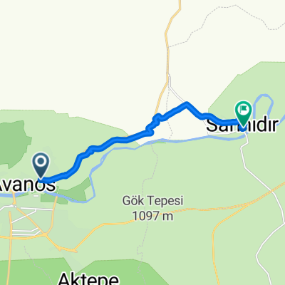
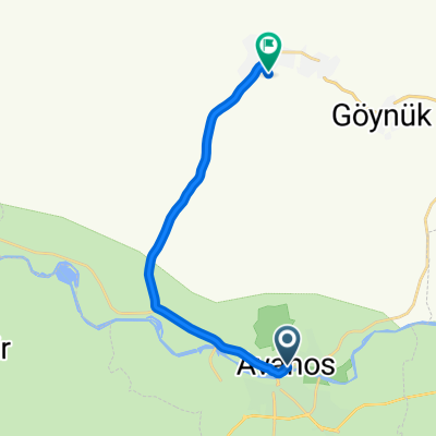
Avanos-Sarıhıdır
A cycling route starting in Avanos, Nevşehir Province, Republic of Türkiye.
Overview
About this route
Avanos-Sarıhıdır (asphalt + sandy track)
- -:--
- Duration
- 9 km
- Distance
- 95 m
- Ascent
- 91 m
- Descent
- ---
- Avg. speed
- ---
- Max. altitude
Continue with Bikemap
Use, edit, or download this cycling route
You would like to ride Avanos-Sarıhıdır or customize it for your own trip? Here is what you can do with this Bikemap route:
Free features
- Save this route as favorite or in collections
- Copy & plan your own version of this route
- Sync your route with Garmin or Wahoo
Premium features
Free trial for 3 days, or one-time payment. More about Bikemap Premium.
- Navigate this route on iOS & Android
- Export a GPX / KML file of this route
- Create your custom printout (try it for free)
- Download this route for offline navigation
Discover more Premium features.
Get Bikemap PremiumFrom our community
Other popular routes starting in Avanos
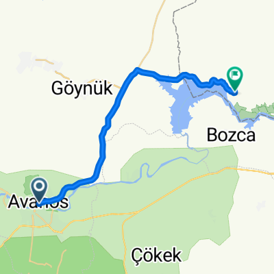
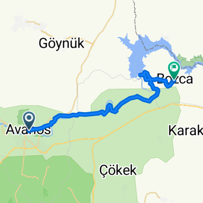 Avanos - Sarıhıdır - Bozca
- Distance
- 23.7 km
- Ascent
- 376 m
- Descent
- 280 m
- Location
- Avanos, Nevşehir Province, Republic of Türkiye
 Avanos-Sarıhıdır
- Distance
- 9 km
- Ascent
- 95 m
- Descent
- 91 m
- Location
- Avanos, Nevşehir Province, Republic of Türkiye
 Avanos - Bayramhacılı
- Distance
- 22.5 km
- Ascent
- 433 m
- Descent
- 318 m
- Location
- Avanos, Nevşehir Province, Republic of Türkiye
 Sarıhıdır - Çavuşin
- Distance
- 23 km
- Ascent
- 443 m
- Descent
- 368 m
- Location
- Avanos, Nevşehir Province, Republic of Türkiye
 Sarihidir - Avanos - Göreme
- Distance
- 19.7 km
- Ascent
- 314 m
- Descent
- 148 m
- Location
- Avanos, Nevşehir Province, Republic of Türkiye
 cycletheworld Teil3 Avanos-Tabriz
- Distance
- 1,379.8 km
- Ascent
- 4,348 m
- Descent
- 3,902 m
- Location
- Avanos, Nevşehir Province, Republic of Türkiye
 Kapadokya Caddesi no:16/A to 556. Sokak 1
- Distance
- 15.2 km
- Ascent
- 161 m
- Descent
- 151 m
- Location
- Avanos, Nevşehir Province, Republic of Türkiye
 Avanos - Özkonak
- Distance
- 14.9 km
- Ascent
- 402 m
- Descent
- 122 m
- Location
- Avanos, Nevşehir Province, Republic of Türkiye
Open it in the app