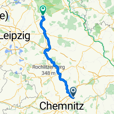
Hainichener Straße nach Talstraße
- 70.7 km
- 940 m
- 602 m
- Frankenberg, Saxony, Germany
A cycling route starting in Frankenberg, Saxony, Germany.
Overview
A very nice, easy bike ride with 2-3 hardly noticeable short climbs. It runs along several rivers through the romantic valleys of Striegis, the Freiberger Mulde, and the Triebisch. The best way to understand the exact route is to refer to the map. Unfortunately, the route is not fully marked as a continuous bike tour. Starting in Irbersdorf, one goes directly into the Rossauer Forest and follows the red-and-white marked hiking path to Rosswein. One follows the Freiberger Mulde upstream. In Rosswein, one switches to the left riverbank on the river road and continues along the Mulde on the Wehrstraße and then on Rossweiner Straße. After the train stop Gleisberg-Marbach, one crosses the Mulde again and follows the Lerchenweg to the Zella Monastery. From there, it continues along the Mulde to Nossen. Further along the B101 to the junction of the B101 to the highway. Here, one goes straight along the Wilsdrufer Straße to Am Fußweg. Here, one goes under the A14 and ultimately continues straight on the Meißener Landstraße, Talstraße, Hauptstraße until Meißen at the Elbe, where the tour ends. Since particularly the last third of the tour uses roads, it is advisable to plan this tour especially for a quiet traffic weekend. (A tour organized and conducted by the DÖHLER-Reisen OHG team)
created this 15 years ago
Route quality
Quiet road
10.9 km
(19 %)
Track
9.8 km
(17 %)
Paved
42.5 km
(74 %)
Unpaved
6.3 km
(11 %)
Asphalt
41.9 km
(73 %)
Gravel
4 km
(7 %)
Continue with Bikemap
You would like to ride Vom Rossauer Wald nach Meißen or customize it for your own trip? Here is what you can do with this Bikemap route:
Free trial for 3 days, or one-time payment. More about Bikemap Premium.
Discover more Premium features.
Get Bikemap PremiumFrom our community
Open it in the app