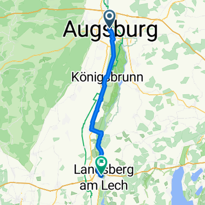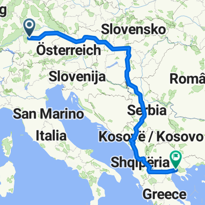
48.362, 10.900 nach 48.574, 10.837
- 29.7 km
- 56 m
- 137 m
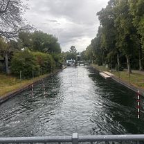
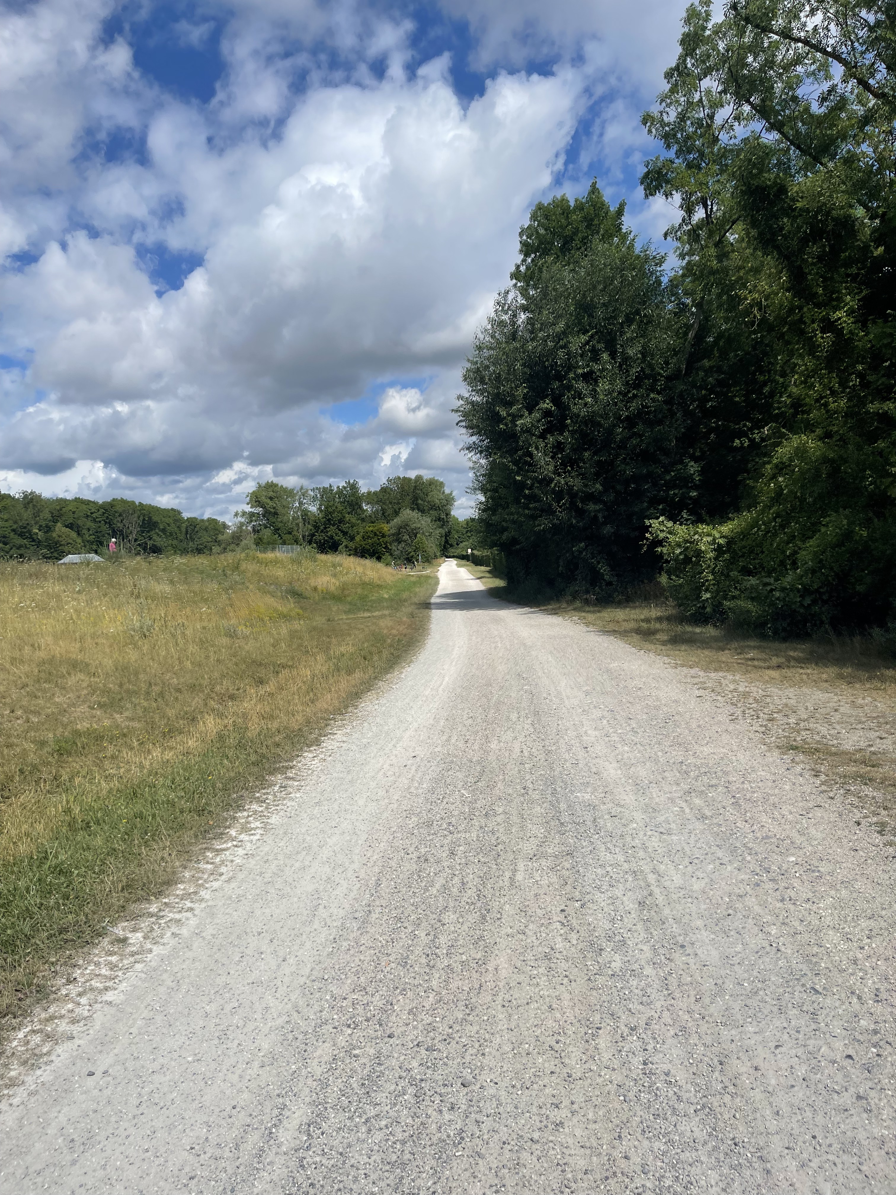
- Augsburg, Bavaria, Germany
A cycling route starting in Augsburg, Bavaria, Germany.
Overview
Isar (80 km)
Brandenberger Ache (80 km)
Walchensee (60 km)
Isar Ursprung (40 km) (evtl. +20 km)
Plansee (70 km)
Lech (70 km) (Alternativ: 140 km)
Augsburg (70 km) (Alternativ. 0 km)
created this 7 years ago
Route highlights
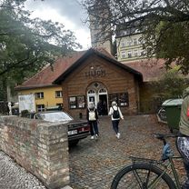
1
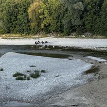
2
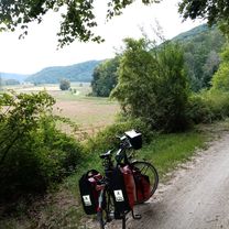
3
4
5
7
Continue with Bikemap
You would like to ride ETmF_1.0 or customize it for your own trip? Here is what you can do with this Bikemap route:
Free trial for 3 days, or one-time payment. More about Bikemap Premium.
Discover more Premium features.
Get Bikemap PremiumFrom our community
Open it in the app