Col d'Evosges and Jura Col Hunting
- 63.4 km
- 1,384 m
- 1,213 m
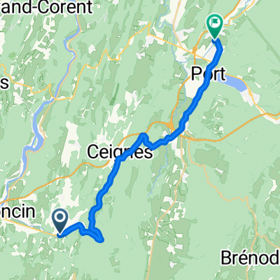
- Poncin, Auvergne-Rhône-Alpes, France
A cycling route starting in Poncin, Auvergne-Rhône-Alpes, France.
Overview
created this 7 years ago
Route quality
Quiet road
7.3 km
(18 %)
Track
6.1 km
(15 %)
Paved
15.1 km
(37 %)
Unpaved
4.9 km
(12 %)
Asphalt
14.7 km
(36 %)
Gravel
3.3 km
(8 %)
Continue with Bikemap
You would like to ride Les Gorges de l'Ain or customize it for your own trip? Here is what you can do with this Bikemap route:
Free trial for 3 days, or one-time payment. More about Bikemap Premium.
Discover more Premium features.
Get Bikemap PremiumFrom our community
Open it in the app