

AI-WE-WALDM-RENNEROD-OBDERSBERG-WALDERNBACH
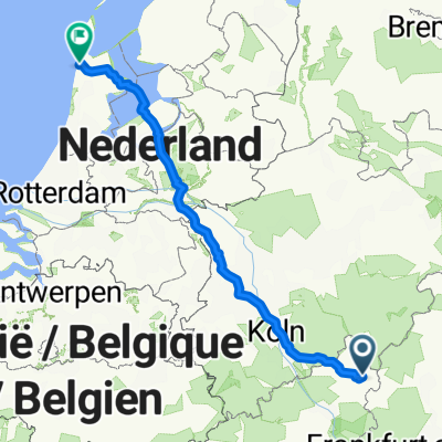
A cycling route starting in Langenbach bei Marienberg, Rhineland-Palatinate, Germany.
Overview
About this route
2
- -:--
- Duration
- 79.9 km
- Distance
- 974 m
- Ascent
- 1,026 m
- Descent
- ---
- Avg. speed
- 645 m
- Max. altitude
Chris
created this 17 years ago
Route quality
Waytypes & surfaces along the route
Waytypes
Road
17.6 km
22 %
Quiet road
12.8 km
16 %
Surfaces
Paved
32.8 km
(41 %)
Unpaved
1.6 km
(2 %)
Asphalt
28 km
35 %
Paved (undefined)
4.8 km
6 %
Continue with Bikemap
Use, edit, or download this cycling route
You would like to ride AI-WE-WALDM-RENNEROD-OBDERSBERG-WALDERNBACH or customize it for your own trip? Here is what you can do with this Bikemap route:
Free features
- Save this route as favorite or in collections
- Copy & plan your own version of this route
- Sync your route with Garmin or Wahoo
Premium features
Free trial for 3 days, or one-time payment. More about Bikemap Premium.
- Navigate this route on iOS & Android
- Export a GPX / KML file of this route
- Create your custom printout (try it for free)
- Download this route for offline navigation
Discover more Premium features.
Get Bikemap PremiumFrom our community
Other popular routes starting in Langenbach bei Marienberg
- Langenbach bei Bad Marienberg Runde um den Wiesensee0
- 36.6 km
- 394 m
- 392 m
- Langenbach bei Marienberg, Rhineland-Palatinate, Germany
- Baumschulenweg 4, Bad Marienberg (Westerwald) nach Im Wiesengrund 2, Halbs0
- 7.4 km
- 140 m
- 79 m
- Langenbach bei Marienberg, Rhineland-Palatinate, Germany
- AI-WE-WALDM-RENNEROD-OBDERSBERG-WALDERNBACH2
- 79.9 km
- 974 m
- 1,026 m
- Langenbach bei Marienberg, Rhineland-Palatinate, Germany


Open it in the app