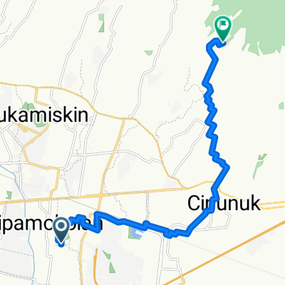
Road to Cilengkrang
A cycling route starting in Cileunyi, West Java, Indonesia.
Overview
About this route
- 2 h 22 min
- Duration
- 12.2 km
- Distance
- 1,946 m
- Ascent
- 1,674 m
- Descent
- 5.1 km/h
- Avg. speed
- ---
- Avg. speed
Route photos
Continue with Bikemap
Use, edit, or download this cycling route
You would like to ride Road to Cilengkrang or customize it for your own trip? Here is what you can do with this Bikemap route:
Free features
- Save this route as favorite or in collections
- Copy & plan your own version of this route
- Sync your route with Garmin or Wahoo
Premium features
Free trial for 3 days, or one-time payment. More about Bikemap Premium.
- Navigate this route on iOS & Android
- Export a GPX / KML file of this route
- Create your custom printout (try it for free)
- Download this route for offline navigation
Discover more Premium features.
Get Bikemap PremiumFrom our community
Other popular routes starting in Cileunyi
- Cipadung, Kecamatan Cibiru to Jalan Mohammad Toha 81b, Kecamatan Regol
- Distance
- 18.5 km
- Ascent
- 68 m
- Descent
- 120 m
- Location
- Cileunyi, West Java, Indonesia
- Jalan Cigiringsing No 6, Kecamatan Ujung Berung to Jalan Cigiringsing No 6, Kecamatan Ujung Berung
- Distance
- 7.5 km
- Ascent
- 2 m
- Descent
- 0 m
- Location
- Cileunyi, West Java, Indonesia
- Bandung Timur Palasari 2
- Distance
- 23.7 km
- Ascent
- 939 m
- Descent
- 937 m
- Location
- Cileunyi, West Java, Indonesia
- Road to Cilengkrang
- Distance
- 12.2 km
- Ascent
- 1,946 m
- Descent
- 1,674 m
- Location
- Cileunyi, West Java, Indonesia
- Jalan Sentra Raya Barat, Kecamatan Gedebage to Jalan Sor GBLA, Kecamatan Gedebage
- Distance
- 7.7 km
- Ascent
- 32 m
- Descent
- 35 m
- Location
- Cileunyi, West Java, Indonesia
- LEMBANG VIA PALINTANG
- Distance
- 27.7 km
- Ascent
- 1,069 m
- Descent
- 530 m
- Location
- Cileunyi, West Java, Indonesia
- 3PPF+22C, Kecamatan Cibiru to Jalan Cilengkrang II No.77, Kecamatan Ujung Berung
- Distance
- 1.3 km
- Ascent
- 72 m
- Descent
- 135 m
- Location
- Cileunyi, West Java, Indonesia
- GGB BadUt
- Distance
- 66.6 km
- Ascent
- 1,266 m
- Descent
- 1,661 m
- Location
- Cileunyi, West Java, Indonesia
Open it in the app