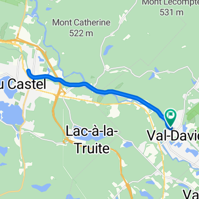
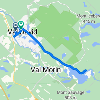
Sainte-Marguerite
- 43.7 km
- 419 m
- 424 m
- Val-David, Quebec, Canada
A cycling route starting in Val-David, Quebec, Canada.
Overview
à faire à ma prochaine visite
created this 7 years ago
Route quality
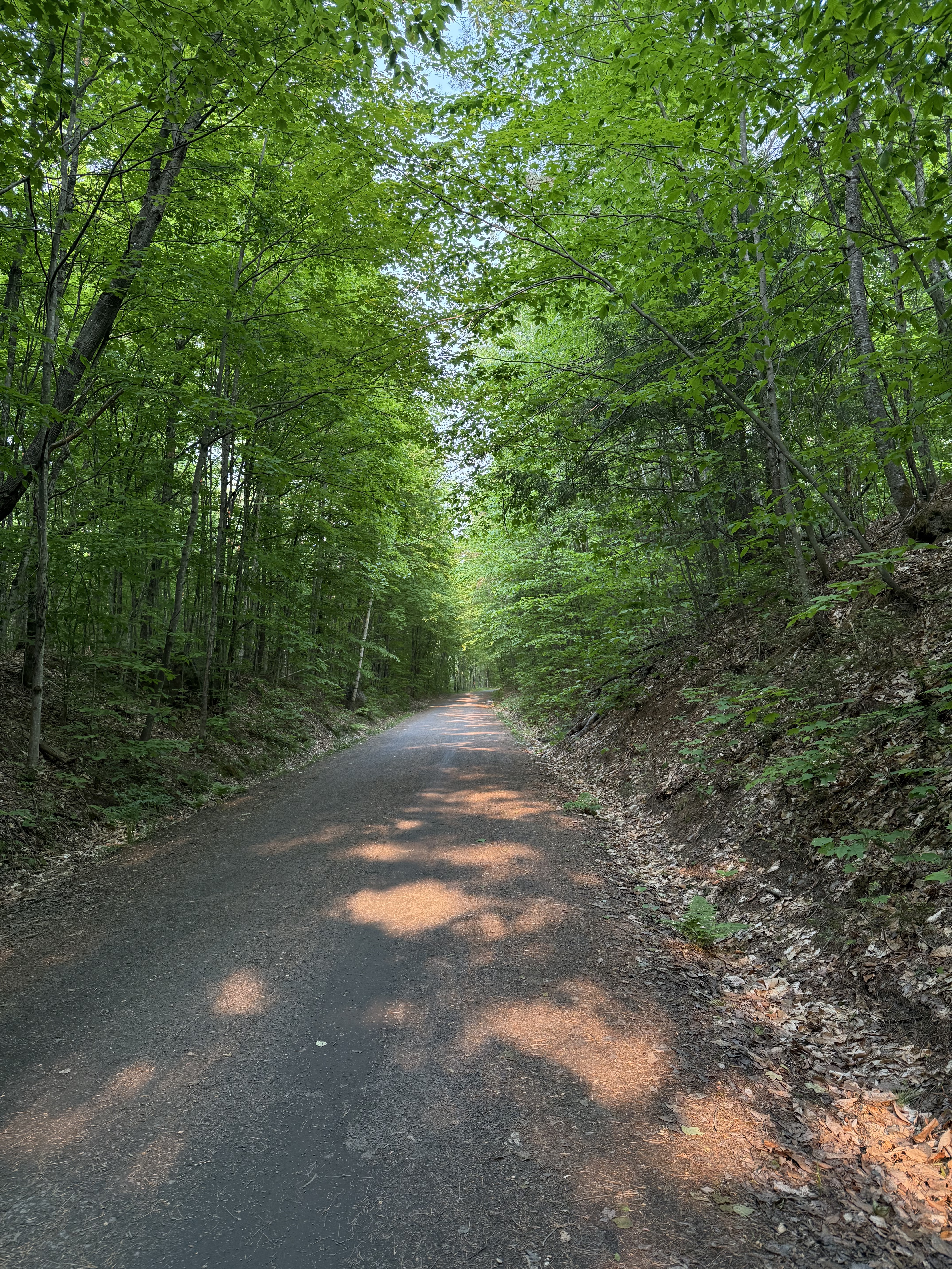
Road
54.4 km
(86 %)
Quiet road
5.1 km
(8 %)
Paved
39.2 km
(62 %)
Unpaved
1.9 km
(3 %)
Asphalt
39.2 km
(62 %)
Unpaved (undefined)
1.9 km
(3 %)
Undefined
22.1 km
(35 %)
Continue with Bikemap
You would like to ride Pays d'en Haut or customize it for your own trip? Here is what you can do with this Bikemap route:
Free trial for 3 days, or one-time payment. More about Bikemap Premium.
Discover more Premium features.
Get Bikemap PremiumFrom our community
Open it in the app