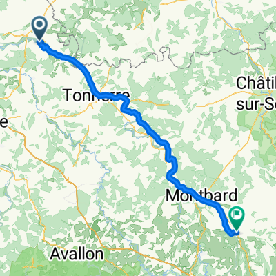
De Saint-Florentin à Rue de Rougeot 6, Vézinnes
- 51 km
- 562 m
- 525 m
- Saint-Florentin, Bourgogne-Franche-Comté, France
A cycling route starting in Saint-Florentin, Bourgogne-Franche-Comté, France.
Overview
Stage 7: Tonnerre to Villeneuve-sur-Yonne
created this 7 years ago
Route quality
Quiet road
16.2 km
(33 %)
Path
11.3 km
(23 %)
Paved
20.2 km
(41 %)
Unpaved
8.4 km
(17 %)
Asphalt
20.2 km
(41 %)
Gravel
8.4 km
(17 %)
Undefined
20.7 km
(42 %)
Route highlights
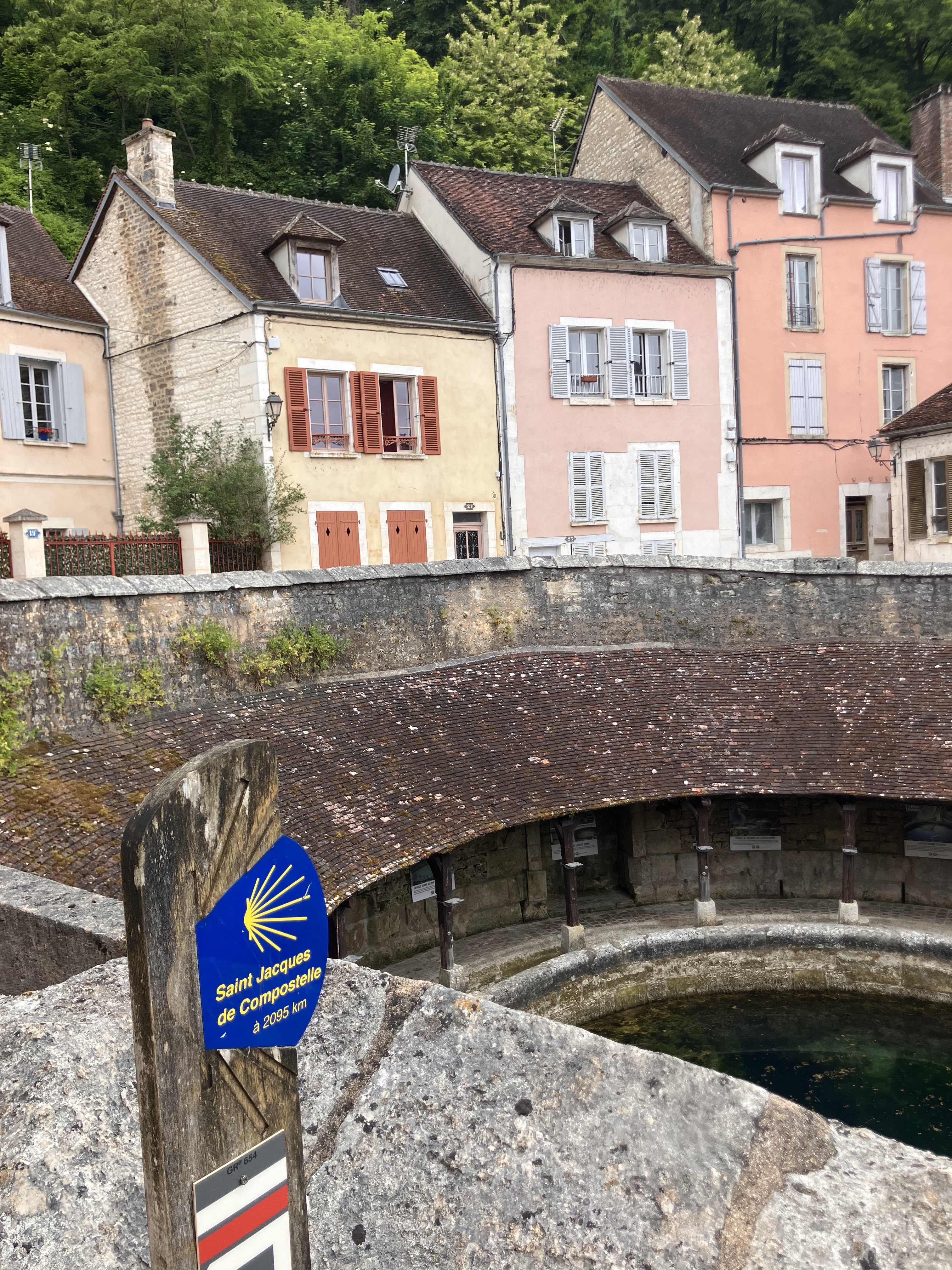
Camping de l'Armançon
Ville à visiter
Base nautique péniches
Intermarché
Camping Le Saucil
Supermarché
Terrain de camping
Casino supermarché
Continue with Bikemap
You would like to ride Lyon - Paris (jour 7) or customize it for your own trip? Here is what you can do with this Bikemap route:
Free trial for 3 days, or one-time payment. More about Bikemap Premium.
Discover more Premium features.
Get Bikemap PremiumFrom our community
Open it in the app