
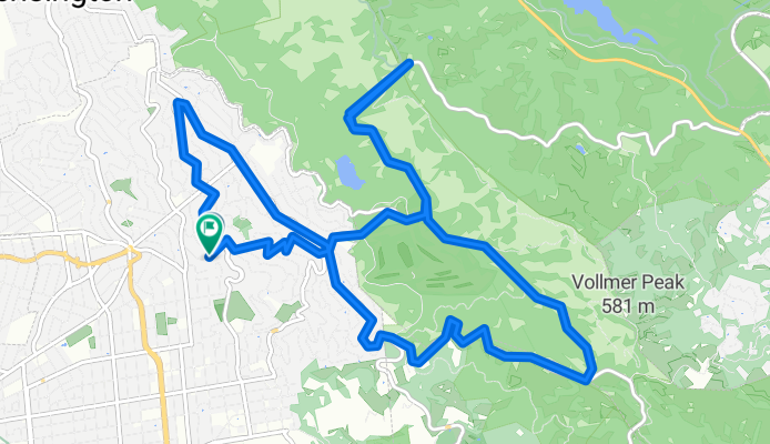
Grizzly Peak/Inspiration Point loop
A cycling route starting in Berkeley, California, United States.
Overview
About this route
- -:--
- Duration
- 17 km
- Distance
- 463 m
- Ascent
- 473 m
- Descent
- ---
- Avg. speed
- ---
- Max. altitude
Route quality
Waytypes & surfaces along the route
Waytypes
Road
14.8 km
(87 %)
Quiet road
2.2 km
(13 %)
Surfaces
Paved
17 km
(100 %)
Asphalt
12.2 km
(72 %)
Paved (undefined)
4.8 km
(28 %)
Continue with Bikemap
Use, edit, or download this cycling route
You would like to ride Grizzly Peak/Inspiration Point loop or customize it for your own trip? Here is what you can do with this Bikemap route:
Free features
- Save this route as favorite or in collections
- Copy & plan your own version of this route
- Sync your route with Garmin or Wahoo
Premium features
Free trial for 3 days, or one-time payment. More about Bikemap Premium.
- Navigate this route on iOS & Android
- Export a GPX / KML file of this route
- Create your custom printout (try it for free)
- Download this route for offline navigation
Discover more Premium features.
Get Bikemap PremiumFrom our community
Other popular routes starting in Berkeley
 Mark's Skyline Loop
- Distance
- 53.1 km
- Ascent
- 880 m
- Descent
- 879 m
- Location
- Berkeley, California, United States
 small loop
- Distance
- 15 km
- Ascent
- 379 m
- Descent
- 379 m
- Location
- Berkeley, California, United States
 N Oakland - Tunnel Rd - Skyline - Grizzly Pk - Spruce - N Oakland
- Distance
- 29.2 km
- Ascent
- 948 m
- Descent
- 932 m
- Location
- Berkeley, California, United States
 Tilden Loop
- Distance
- 16.4 km
- Ascent
- 327 m
- Descent
- 324 m
- Location
- Berkeley, California, United States
 Wildcat Canyon o&b + Briones Park circuit
- Distance
- 60.3 km
- Ascent
- 1,429 m
- Descent
- 1,458 m
- Location
- Berkeley, California, United States
 Short Commute
- Distance
- 18.1 km
- Ascent
- 438 m
- Descent
- 439 m
- Location
- Berkeley, California, United States
 Cent, Sp, CoCo
- Distance
- 52.9 km
- Ascent
- 1,082 m
- Descent
- 1,082 m
- Location
- Berkeley, California, United States
 Bears
Bears- Distance
- 56.6 km
- Ascent
- 926 m
- Descent
- 929 m
- Location
- Berkeley, California, United States
Open it in the app