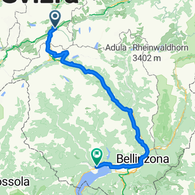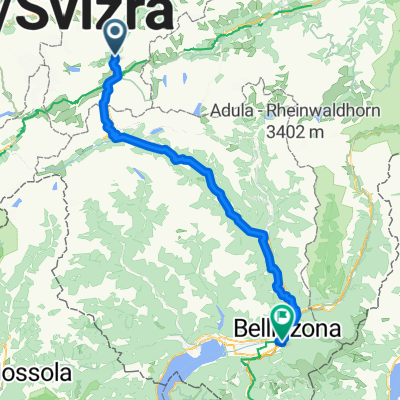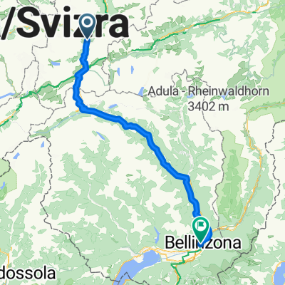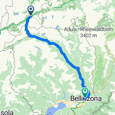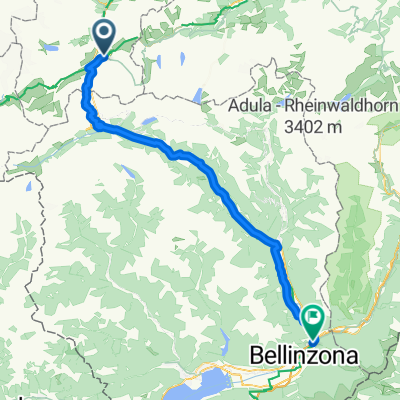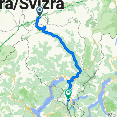
Bellinzona - Vizzola Ticino
- 130.7 km
- 2,639 m
- 3,799 m
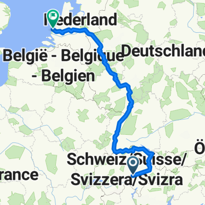
- Andermatt, Canton of Uri, Switzerland
A cycling route starting in Andermatt, Canton of Uri, Switzerland.
Overview
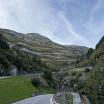
The Witenwasseren Valley near Andermatt is also suitable for beginners. The half-day trip offers a varied tour, and those looking for idyll, solitude, and alpine floral splendor will be fully rewarded. Starting from Andermatt, you reach the smallest village in Switzerland on the flat first section via Hospental. Zumdorf, once and still known as the 'smallest village in Switzerland,' is a designated Walser settlement and was formerly an independent curacy with a chapel, curacy, and school. Severely affected by avalanches, Zumdorf united with Hospental in March 1851. After the village of Realp, you pass directly by the station of the nostalgic Furka Mountain Railway steam train. With some luck, you will see the old steam locomotives puffing and panting their way toward the Furka Pass. Now you ride on the old military road into the Witenwasseren Valley. The lonely and idyllic valley is a true flower paradise, especially in spring. The regionally significant landscape protection area also features a variety of small moorlands. The destination of the route is Oberstafel, located at 2221 meters above sea level at the foot of Pizzo Lucendro. From Oberstafel via Realp, you roll back along the same route as the outbound trip through the Ursern Valley to Andermatt. The cozy restaurants and cafés in the popular winter sports resort invite you to a well-deserved break.
created this 7 years ago
Route quality
Access road
8 km
(46 %)
Track
5.5 km
(32 %)
Paved
4 km
(23 %)
Unpaved
5.9 km
(34 %)
Asphalt
3.3 km
(19 %)
Loose gravel
3.3 km
(19 %)
Continue with Bikemap
You would like to ride Witenwasseren Bike or customize it for your own trip? Here is what you can do with this Bikemap route:
Free trial for 3 days, or one-time payment. More about Bikemap Premium.
Discover more Premium features.
Get Bikemap PremiumFrom our community
Open it in the app