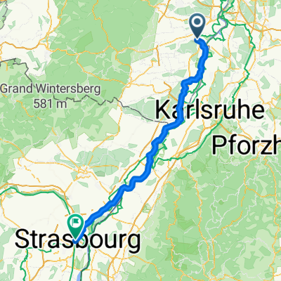
Tour Lingenfeld - Essingen - 3 Buchen - Edesheim - Lingenfeld
A cycling route starting in Lingenfeld, Rhineland-Palatinate, Germany.
Overview
About this route
I rode this tour on 19.04.10. It starts flat over Weingarten, Freisbach. From Essingen it's then a gentle uphill through Walsheim and Böchingen towards the Palatinate Forest. In between, there are also 2-3 short descents, e.g. from Frankweiler to Siebeldingen. Dernbach and Ramberg are still easy, after which it gets steep up over the 3 Buchen. Then a descent to Weyher, Rhodt, Edesheim. Now back to flat through Venningen, Altdorf, Böbingen towards the Rhine.
- -:--
- Duration
- 73.4 km
- Distance
- 642 m
- Ascent
- 629 m
- Descent
- ---
- Avg. speed
- 451 m
- Max. altitude
Route quality
Waytypes & surfaces along the route
Waytypes
Track
17.6 km
(24 %)
Road
8.8 km
(12 %)
Surfaces
Paved
57.2 km
(78 %)
Unpaved
5.9 km
(8 %)
Asphalt
49.2 km
(67 %)
Paved (undefined)
7.3 km
(10 %)
Continue with Bikemap
Use, edit, or download this cycling route
You would like to ride Tour Lingenfeld - Essingen - 3 Buchen - Edesheim - Lingenfeld or customize it for your own trip? Here is what you can do with this Bikemap route:
Free features
- Save this route as favorite or in collections
- Copy & plan your own version of this route
- Sync your route with Garmin or Wahoo
Premium features
Free trial for 3 days, or one-time payment. More about Bikemap Premium.
- Navigate this route on iOS & Android
- Export a GPX / KML file of this route
- Create your custom printout (try it for free)
- Download this route for offline navigation
Discover more Premium features.
Get Bikemap PremiumFrom our community
Other popular routes starting in Lingenfeld
 Römerberg nach Essingen Rundfahrt
- Distance
- 45.6 km
- Ascent
- 100 m
- Descent
- 100 m
- Location
- Lingenfeld, Rhineland-Palatinate, Germany
 2018-06 Lingenfeld-Strasbourg
- Distance
- 110.8 km
- Ascent
- 81 m
- Descent
- 55 m
- Location
- Lingenfeld, Rhineland-Palatinate, Germany
 Lingenfeld-Rhodt-Weinstrasse nach Süden bis Kl.Münster-Lingenfeld
- Distance
- 74.8 km
- Ascent
- 472 m
- Descent
- 461 m
- Location
- Lingenfeld, Rhineland-Palatinate, Germany
 Pfalztour I
- Distance
- 62.5 km
- Ascent
- 204 m
- Descent
- 201 m
- Location
- Lingenfeld, Rhineland-Palatinate, Germany
 Lingenfeld- Wörth und zurück -abseits des Pkw-Verkehrs-
- Distance
- 71.4 km
- Ascent
- 123 m
- Descent
- 119 m
- Location
- Lingenfeld, Rhineland-Palatinate, Germany
 Rundfahrt Lingfeld nach Insheim
- Distance
- 48.6 km
- Ascent
- 125 m
- Descent
- 115 m
- Location
- Lingenfeld, Rhineland-Palatinate, Germany
 Von Lingenfeld bis Berlin
- Distance
- 751.6 km
- Ascent
- 6,570 m
- Descent
- 6,658 m
- Location
- Lingenfeld, Rhineland-Palatinate, Germany
 Kilianerweg 3, Lingenfeld nach Kilianerweg 3, Lingenfeld
- Distance
- 47.2 km
- Ascent
- 170 m
- Descent
- 226 m
- Location
- Lingenfeld, Rhineland-Palatinate, Germany
Open it in the app


