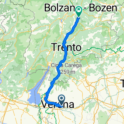
Madonna di Campagna - Colognola - CastelCerino - Montecchia - S. Giovanni Il. - Fittà - Tregnago - Villa Winkler - Mezzane di Sopra e di Sotto - Postuman - Cast
A cycling route starting in Montorio, Veneto, Italy.
Overview
About this route
Nice loop starting from Madonna di Campagna going to Colognola, continuing through Soave and CastelCerino, descending to Montecchia di Crosara, then taking an internal road to S. Giovanni Il. From here, head towards Fittà and then descend to Tregnago. Climb up from villa Winkler on the road leading to S. Mauro, but at the fork descend towards Mezzane di Sotto. Then climb to Castagnè passing through Postuman. Finally, descend from Pian to Montorio.
- -:--
- Duration
- 85.4 km
- Distance
- 1,529 m
- Ascent
- 1,532 m
- Descent
- ---
- Avg. speed
- ---
- Max. altitude
Route quality
Waytypes & surfaces along the route
Waytypes
Road
47.8 km
(56 %)
Cycleway
13.7 km
(16 %)
Surfaces
Paved
63.2 km
(74 %)
Unpaved
0.9 km
(1 %)
Asphalt
63.2 km
(74 %)
Gravel
0.9 km
(1 %)
Undefined
21.3 km
(25 %)
Continue with Bikemap
Use, edit, or download this cycling route
You would like to ride Madonna di Campagna - Colognola - CastelCerino - Montecchia - S. Giovanni Il. - Fittà - Tregnago - Villa Winkler - Mezzane di Sopra e di Sotto - Postuman - Cast or customize it for your own trip? Here is what you can do with this Bikemap route:
Free features
- Save this route as favorite or in collections
- Copy & plan your own version of this route
- Split it into stages to create a multi-day tour
- Sync your route with Garmin or Wahoo
Premium features
Free trial for 3 days, or one-time payment. More about Bikemap Premium.
- Navigate this route on iOS & Android
- Export a GPX / KML file of this route
- Create your custom printout (try it for free)
- Download this route for offline navigation
Discover more Premium features.
Get Bikemap PremiumFrom our community
Other popular routes starting in Montorio
 17 Penny ZAF (VERONA - Bronzolo (BZ))
- Distance
- 170.9 km
- Ascent
- 427 m
- Descent
- 203 m
- Location
- Montorio, Veneto, Italy
 Montorio - Cerna
- Distance
- 64.7 km
- Ascent
- 1,009 m
- Descent
- 1,007 m
- Location
- Montorio, Veneto, Italy
 MONTORIO PIAN MARCELLISE CASTagne'
- Distance
- 30.1 km
- Ascent
- 680 m
- Descent
- 680 m
- Location
- Montorio, Veneto, Italy
 Montorio-Pian di Castagnè
- Distance
- 6.6 km
- Ascent
- 306 m
- Descent
- 9 m
- Location
- Montorio, Veneto, Italy
 San Martino Buon Albergo - Vicenza
- Distance
- 58.2 km
- Ascent
- 244 m
- Descent
- 254 m
- Location
- Montorio, Veneto, Italy
 S.Michele -Castelcerino - Illasi - Badia - Bettola - Mezzane di Sotto - Castagnè - Torricella
- Distance
- 92.9 km
- Ascent
- 1,355 m
- Descent
- 1,334 m
- Location
- Montorio, Veneto, Italy
 Verona - Cesenatico
- Distance
- 225 km
- Ascent
- 120 m
- Descent
- 180 m
- Location
- Montorio, Veneto, Italy
 Montorio
- Distance
- 17.6 km
- Ascent
- 411 m
- Descent
- 414 m
- Location
- Montorio, Veneto, Italy
Open it in the app


