Lechtour von Türkenfeld nach Diedorf
A cycling route starting in Türkenfeld, Bavaria, Germany.
Overview
About this route
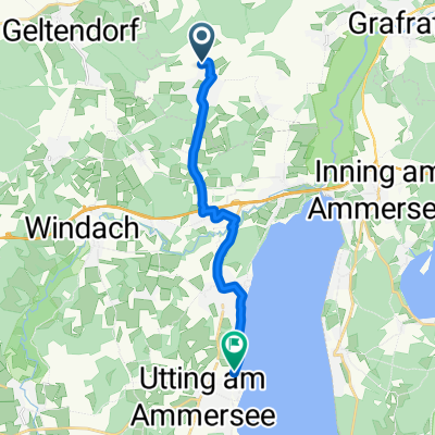
Tour along the Lech. The starting point is the Türkenfeld S-Bahn station. From there to St. Ottilien and then on to Eresing. From there, follow the Ammerseeradweg to Landsberg. From there, head north always along the Lech. Up to the first weir, you can follow the R1 on the left side before crossing over in Kaufering and continuing on the right side. The Romantische Straße hiking trail runs directly along the bank but is not a bike path. Robust cycling and consideration for hikers are advised here, as the trail is often just wide enough for a shoulder. At weir 22, cross the river again and now follow the small stream, which becomes increasingly scenic up to Haunstetten. There, turn left into the village and continue into the valley via Inningen to the Wertach cycle path. Follow this northwards to the next road. There, turn left to Wellenburg. Now comes the last climb over a ridge to Anhausen and Diedorf. There is a train station there with hourly connections to Augsburg/Munich.
- -:--
- Duration
- 69.3 km
- Distance
- 203 m
- Ascent
- 333 m
- Descent
- ---
- Avg. speed
- ---
- Max. altitude
Route quality
Waytypes & surfaces along the route
Waytypes
Track
36 km
(52 %)
Quiet road
13.2 km
(19 %)
Surfaces
Paved
32.6 km
(47 %)
Unpaved
33.3 km
(48 %)
Asphalt
32.6 km
(47 %)
Gravel
15.9 km
(23 %)
Continue with Bikemap
Use, edit, or download this cycling route
You would like to ride Lechtour von Türkenfeld nach Diedorf or customize it for your own trip? Here is what you can do with this Bikemap route:
Free features
- Save this route as favorite or in collections
- Copy & plan your own version of this route
- Sync your route with Garmin or Wahoo
Premium features
Free trial for 3 days, or one-time payment. More about Bikemap Premium.
- Navigate this route on iOS & Android
- Export a GPX / KML file of this route
- Create your custom printout (try it for free)
- Download this route for offline navigation
Discover more Premium features.
Get Bikemap PremiumFrom our community
Other popular routes starting in Türkenfeld
 Jexhof - Türkenfeld
- Distance
- 12 km
- Ascent
- 53 m
- Descent
- 76 m
- Location
- Türkenfeld, Bavaria, Germany
 Türkenfeld-Funkturm-Ampertal-300HM
- Distance
- 32.8 km
- Ascent
- 208 m
- Descent
- 208 m
- Location
- Türkenfeld, Bavaria, Germany
 Türkenfeld-Ammersee-Andechs-509Hm
- Distance
- 64.9 km
- Ascent
- 326 m
- Descent
- 326 m
- Location
- Türkenfeld, Bavaria, Germany
 2007_Türkenfeld_Tutzing
- Distance
- 60.5 km
- Ascent
- 320 m
- Descent
- 305 m
- Location
- Türkenfeld, Bavaria, Germany
 Recorded via Apple Watch - 03.06.21, 10:46
- Distance
- 11.8 km
- Ascent
- 47 m
- Descent
- 110 m
- Location
- Türkenfeld, Bavaria, Germany
 Türkenfeld-Mering
- Distance
- 63.1 km
- Ascent
- 386 m
- Descent
- 387 m
- Location
- Türkenfeld, Bavaria, Germany
 Graf-Schenk-Straße 2, Türkenfeld nach Hauptstraße 11, Seefeld
- Distance
- 19.8 km
- Ascent
- 212 m
- Descent
- 241 m
- Location
- Türkenfeld, Bavaria, Germany
 50 - 00 - TF - Ottilien
- Distance
- 4.8 km
- Ascent
- 5 m
- Descent
- 12 m
- Location
- Türkenfeld, Bavaria, Germany
Open it in the app

