

mise en jambe 2
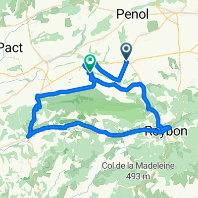
A cycling route starting in Viriville, Auvergne-Rhône-Alpes, France.
Overview
About this route
- -:--
- Duration
- 46.1 km
- Distance
- 176 m
- Ascent
- 176 m
- Descent
- ---
- Avg. speed
- ---
- Max. altitude
Route quality
Waytypes & surfaces along the route
Waytypes
Road
16.6 km
(36 %)
Quiet road
12.9 km
(28 %)
Surfaces
Paved
3.7 km
(8 %)
Unpaved
0.9 km
(2 %)
Asphalt
3.7 km
(8 %)
Ground
0.9 km
(2 %)
Undefined
41.5 km
(90 %)
Continue with Bikemap
Use, edit, or download this cycling route
You would like to ride mise en jambe 2 or customize it for your own trip? Here is what you can do with this Bikemap route:
Free features
- Save this route as favorite or in collections
- Copy & plan your own version of this route
- Sync your route with Garmin or Wahoo
Premium features
Free trial for 3 days, or one-time payment. More about Bikemap Premium.
- Navigate this route on iOS & Android
- Export a GPX / KML file of this route
- Create your custom printout (try it for free)
- Download this route for offline navigation
Discover more Premium features.
Get Bikemap PremiumFrom our community
Other popular routes starting in Viriville
 sortie 60 kms
- Distance
- 60.2 km
- Ascent
- 325 m
- Descent
- 325 m
- Location
- Viriville, Auvergne-Rhône-Alpes, France
 sortie 5
- Distance
- 59.4 km
- Ascent
- 273 m
- Descent
- 273 m
- Location
- Viriville, Auvergne-Rhône-Alpes, France
 thodure beaurepaire
- Distance
- 24.7 km
- Ascent
- 135 m
- Descent
- 135 m
- Location
- Viriville, Auvergne-Rhône-Alpes, France
 De Rue de la République 34, Beaurepaire à Rue de la République 34, Beaurepaire
- Distance
- 38.7 km
- Ascent
- 191 m
- Descent
- 193 m
- Location
- Viriville, Auvergne-Rhône-Alpes, France
 3. Marnans - Tournon
- Distance
- 66.9 km
- Ascent
- 219 m
- Descent
- 562 m
- Location
- Viriville, Auvergne-Rhône-Alpes, France
 De Chemin des Silos à Chemin de la Pierrelle
- Distance
- 60.7 km
- Ascent
- 1,056 m
- Descent
- 1,059 m
- Location
- Viriville, Auvergne-Rhône-Alpes, France
 De Chemin du Mitifiot 201, Viriville à Côte Carmagnac 9, Irigny
- Distance
- 67.2 km
- Ascent
- 1,326 m
- Descent
- 1,507 m
- Location
- Viriville, Auvergne-Rhône-Alpes, France
 essai 2
- Distance
- 47.2 km
- Ascent
- 282 m
- Descent
- 282 m
- Location
- Viriville, Auvergne-Rhône-Alpes, France
Open it in the app