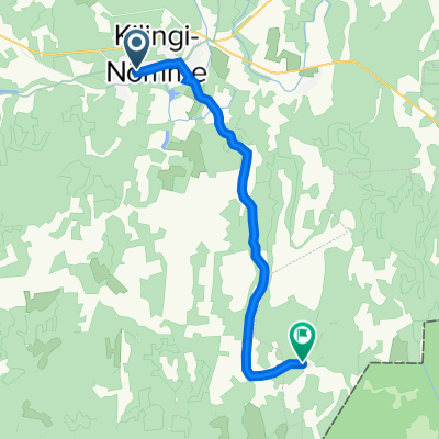
Pärnu tn 46, Kilingi-Nõmme to Mõisaküla-Jäärja, Raamatu
- 14.4 km
- 38 m
- 20 m
- Kilingi-Nõmme, Pärnumaa, Estonia
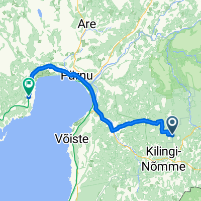
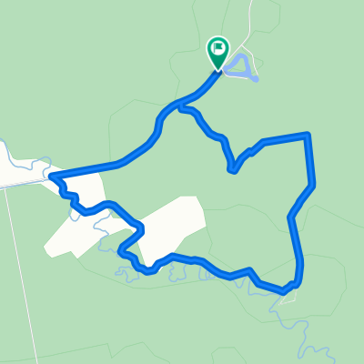
A cycling route starting in Kilingi-Nõmme, Pärnumaa, Estonia.
Overview
created this 7 years ago
Route quality
Road
24.8 km
(36 %)
Quiet road
17.2 km
(25 %)
Paved
51 km
(74 %)
Unpaved
8.3 km
(12 %)
Asphalt
50.3 km
(73 %)
Gravel
8.3 km
(12 %)
Route highlights
Kellissaare campfire site http://loodusegakoos.ee/where-to-go/recreation-areas/sakala-recreation-area/kellissaare-campfire-site
Hirvelaane campfire site http://loodusegakoos.ee/where-to-go/recreation-areas/the-surroundings-of-tallinn-recreation-area/hirvela
Kolga nature study trail http://loodusegakoos.ee/where-to-go/recreation-areas/parnumaa-recreation-area/kolga-nature-study-trail-1-dot-5-and-3-dot-5-km
Matsiranna campsite http://loodusegakoos.ee/where-to-go/recreation-areas/parnumaa-recreation-area/matsiranna-campsite
Continue with Bikemap
You would like to ride Day 2 or customize it for your own trip? Here is what you can do with this Bikemap route:
Free trial for 3 days, or one-time payment. More about Bikemap Premium.
Discover more Premium features.
Get Bikemap PremiumFrom our community
Open it in the app