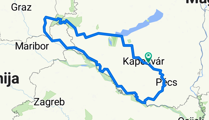
Mecsek-Őrség-Osztrák-Szlovén
A cycling route starting in Taszár, Somogy County, Hungary.
Overview
About this route
- -:--
- Duration
- 620.7 km
- Distance
- 995 m
- Ascent
- 996 m
- Descent
- ---
- Avg. speed
- ---
- Max. altitude
Route quality
Waytypes & surfaces along the route
Waytypes
Cycleway
68.3 km
(11 %)
Quiet road
55.9 km
(9 %)
Surfaces
Paved
366.2 km
(59 %)
Unpaved
12.4 km
(2 %)
Asphalt
366.2 km
(59 %)
Unpaved (undefined)
6.2 km
(1 %)
Continue with Bikemap
Use, edit, or download this cycling route
You would like to ride Mecsek-Őrség-Osztrák-Szlovén or customize it for your own trip? Here is what you can do with this Bikemap route:
Free features
- Save this route as favorite or in collections
- Copy & plan your own version of this route
- Split it into stages to create a multi-day tour
- Sync your route with Garmin or Wahoo
Premium features
Free trial for 3 days, or one-time payment. More about Bikemap Premium.
- Navigate this route on iOS & Android
- Export a GPX / KML file of this route
- Create your custom printout (try it for free)
- Download this route for offline navigation
Discover more Premium features.
Get Bikemap PremiumFrom our community
Other popular routes starting in Taszár
Igal - Gölle kör- Distance
- 38.3 km
- Ascent
- 206 m
- Descent
- 204 m
- Location
- Taszár, Somogy County, Hungary
DDK Mecseki Kék 1- Distance
- 16.9 km
- Ascent
- 270 m
- Descent
- 270 m
- Location
- Taszár, Somogy County, Hungary
Hajmás - Hajmás- Distance
- 26.4 km
- Ascent
- 268 m
- Descent
- 272 m
- Location
- Taszár, Somogy County, Hungary
fonó,homok,mosdós- Distance
- 21.9 km
- Ascent
- 121 m
- Descent
- 119 m
- Location
- Taszár, Somogy County, Hungary
2016.06.10-11-12. Somogyország az Én Hazám- Distance
- 164.5 km
- Ascent
- 638 m
- Descent
- 638 m
- Location
- Taszár, Somogy County, Hungary
Mecsek-Őrség-Osztrák-Szlovén- Distance
- 620.7 km
- Ascent
- 995 m
- Descent
- 996 m
- Location
- Taszár, Somogy County, Hungary
Igal-Kapospula-Igal- Distance
- 57.1 km
- Ascent
- 239 m
- Descent
- 239 m
- Location
- Taszár, Somogy County, Hungary
Várong, kaktuszfarm- Distance
- 11.1 km
- Ascent
- 112 m
- Descent
- 120 m
- Location
- Taszár, Somogy County, Hungary
Open it in the app

