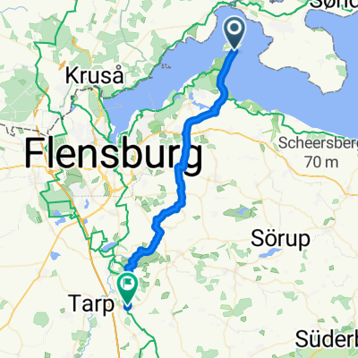
20180725-Broagerland/Vemmelund mod uret
A cycling route starting in Broager, Region South Denmark, Denmark.
Overview
About this route
- -:--
- Duration
- 28.4 km
- Distance
- 145 m
- Ascent
- 145 m
- Descent
- ---
- Avg. speed
- ---
- Max. altitude
Route quality
Waytypes & surfaces along the route
Waytypes
Quiet road
18.2 km
(64 %)
Access road
3.7 km
(13 %)
Surfaces
Paved
19.3 km
(68 %)
Unpaved
7.7 km
(27 %)
Asphalt
19.3 km
(68 %)
Gravel
7.7 km
(27 %)
Undefined
1.4 km
(5 %)
Continue with Bikemap
Use, edit, or download this cycling route
You would like to ride 20180725-Broagerland/Vemmelund mod uret or customize it for your own trip? Here is what you can do with this Bikemap route:
Free features
- Save this route as favorite or in collections
- Copy & plan your own version of this route
- Sync your route with Garmin or Wahoo
Premium features
Free trial for 3 days, or one-time payment. More about Bikemap Premium.
- Navigate this route on iOS & Android
- Export a GPX / KML file of this route
- Create your custom printout (try it for free)
- Download this route for offline navigation
Discover more Premium features.
Get Bikemap PremiumFrom our community
Other popular routes starting in Broager
Tur m. Lisbeth- Distance
- 28.7 km
- Ascent
- 224 m
- Descent
- 224 m
- Location
- Broager, Region South Denmark, Denmark
000 Holnis-Süderschmedeby- Distance
- 31.5 km
- Ascent
- 178 m
- Descent
- 132 m
- Location
- Broager, Region South Denmark, Denmark
Sløjfe 1C - Broagerland- Distance
- 29.8 km
- Ascent
- 156 m
- Descent
- 156 m
- Location
- Broager, Region South Denmark, Denmark
From Langballig to Gråsten- Distance
- 49.9 km
- Ascent
- 498 m
- Descent
- 495 m
- Location
- Broager, Region South Denmark, Denmark
Broagerland- Distance
- 28.6 km
- Ascent
- 136 m
- Descent
- 136 m
- Location
- Broager, Region South Denmark, Denmark
От Strandweg 4, Westerholz до Strandweg 4, Westerholz- Distance
- 4.2 km
- Ascent
- 61 m
- Descent
- 61 m
- Location
- Broager, Region South Denmark, Denmark
Wasser und Land Dänemark-Deutschland mit Fahrradfähre- Distance
- 50 km
- Ascent
- 502 m
- Descent
- 502 m
- Location
- Broager, Region South Denmark, Denmark
Route nach Langballig- Distance
- 56.7 km
- Ascent
- 605 m
- Descent
- 586 m
- Location
- Broager, Region South Denmark, Denmark
Open it in the app


