

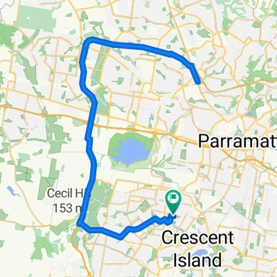
Wetherill Park ReAccred
A cycling route starting in Fairfield Heights, New South Wales, Australia.
Overview
About this route
- Start./Finish BTAC Wetherill Park
- Warm Up to Western Sydney parklands/M7 bikepath
- Off Road back 6km Wylde then return
- -:--
- Duration
- 28.7 km
- Distance
- 261 m
- Ascent
- 257 m
- Descent
- ---
- Avg. speed
- ---
- Max. altitude

Continue with Bikemap
Use, edit, or download this cycling route
You would like to ride Wetherill Park ReAccred or customize it for your own trip? Here is what you can do with this Bikemap route:
Free features
- Save this route as favorite or in collections
- Copy & plan your own version of this route
- Sync your route with Garmin or Wahoo
Premium features
Free trial for 3 days, or one-time payment. More about Bikemap Premium.
- Navigate this route on iOS & Android
- Export a GPX / KML file of this route
- Create your custom printout (try it for free)
- Download this route for offline navigation
Discover more Premium features.
Get Bikemap PremiumFrom our community
Other popular routes starting in Fairfield Heights
 Wetherill Park ReAccred
- Distance
- 28.7 km
- Ascent
- 261 m
- Descent
- 257 m
- Location
- Fairfield Heights, New South Wales, Australia
 One week in NSW
- Distance
- 434.4 km
- Ascent
- 6,894 m
- Descent
- 6,904 m
- Location
- Fairfield Heights, New South Wales, Australia
 80km via bonnyrigg Elizabeth
- Distance
- 80.2 km
- Ascent
- 341 m
- Descent
- 341 m
- Location
- Fairfield Heights, New South Wales, Australia
 Via Bonnyrigg
- Distance
- 97.4 km
- Ascent
- 370 m
- Descent
- 370 m
- Location
- Fairfield Heights, New South Wales, Australia
 Hibiscus Street 16, Greystanes to George Street 110, Parramatta
- Distance
- 9.6 km
- Ascent
- 122 m
- Descent
- 151 m
- Location
- Fairfield Heights, New South Wales, Australia
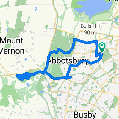 Wetherill Park ReAccred
- Distance
- 28.1 km
- Ascent
- 602 m
- Descent
- 412 m
- Location
- Fairfield Heights, New South Wales, Australia
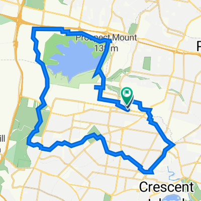 Wetherill Park
- Distance
- 42.3 km
- Ascent
- 371 m
- Descent
- 371 m
- Location
- Fairfield Heights, New South Wales, Australia
 Prospect Highway, Pemulwuy to 126 Tower St, Panania
- Distance
- 35 km
- Ascent
- 303 m
- Descent
- 313 m
- Location
- Fairfield Heights, New South Wales, Australia
Open it in the app