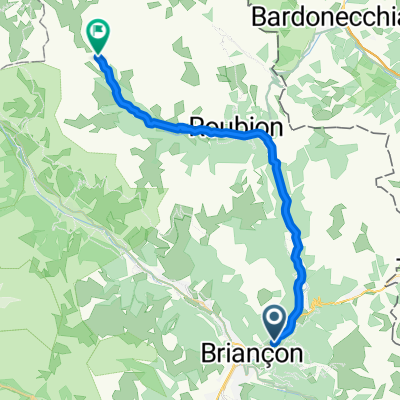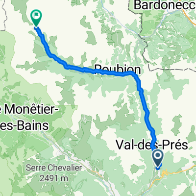
01_Val des Prés - Refuge de Laval 25/700
- 24.4 km
- 688 m
- 30 m
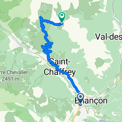
- Briançon, Provence-Alpes-Côte d'Azur Region, France
A cycling route starting in Briançon, Provence-Alpes-Côte d'Azur Region, France.
Overview
Amazing ride to Col du Granon the 6th highest paved road in France, then unpaved Col hunting
created this 7 years ago


Route highlights
Col de Buffère - 2427 metres
porte de cristol - 2483 metres
Col des Cibières - 2525 metres
Col de l'Oule 2546 metres
Col de Barteaux - 2380 metres
Col de Granon - 2413 metres
Fort de Lenlon - 2508 metres
Fort de l'Olive - 2239 metres
Continue with Bikemap
You would like to ride Col du Granon, Five Gravel Cols, Two Perched Forts or customize it for your own trip? Here is what you can do with this Bikemap route:
Free trial for 3 days, or one-time payment. More about Bikemap Premium.
Discover more Premium features.
Get Bikemap PremiumFrom our community
Open it in the app