
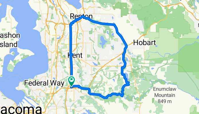
loop green valley/ interurban/cedar river
A cycling route starting in Auburn, Washington, United States.
Overview
About this route
- -:--
- Duration
- 75.9 km
- Distance
- 201 m
- Ascent
- 199 m
- Descent
- ---
- Avg. speed
- ---
- Max. altitude
Route quality
Waytypes & surfaces along the route
Waytypes
Cycleway
34.2 km
(45 %)
Road
25.8 km
(34 %)
Surfaces
Paved
49.4 km
(65 %)
Unpaved
1.5 km
(2 %)
Asphalt
38 km
(50 %)
Paved (undefined)
10.6 km
(14 %)
Continue with Bikemap
Use, edit, or download this cycling route
You would like to ride loop green valley/ interurban/cedar river or customize it for your own trip? Here is what you can do with this Bikemap route:
Free features
- Save this route as favorite or in collections
- Copy & plan your own version of this route
- Sync your route with Garmin or Wahoo
Premium features
Free trial for 3 days, or one-time payment. More about Bikemap Premium.
- Navigate this route on iOS & Android
- Export a GPX / KML file of this route
- Create your custom printout (try it for free)
- Download this route for offline navigation
Discover more Premium features.
Get Bikemap PremiumFrom our community
Other popular routes starting in Auburn
 1st map
- Distance
- 11.7 km
- Ascent
- 20 m
- Descent
- 31 m
- Location
- Auburn, Washington, United States
 M Street Southeast 1210, Auburn to West Main Street 804, Auburn
- Distance
- 3.4 km
- Ascent
- 0 m
- Descent
- 19 m
- Location
- Auburn, Washington, United States
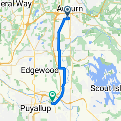 Moderate route in Puyallup
- Distance
- 14.6 km
- Ascent
- 67 m
- Descent
- 77 m
- Location
- Auburn, Washington, United States
 Auburn Station to Fremont Avenue North 3418, Seattle
- Distance
- 57 km
- Ascent
- 246 m
- Descent
- 245 m
- Location
- Auburn, Washington, United States
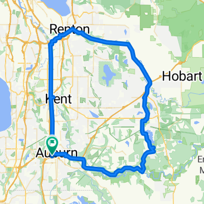 loop green valley/ interurban/cedar river
- Distance
- 75.9 km
- Ascent
- 201 m
- Descent
- 199 m
- Location
- Auburn, Washington, United States
 Outlet Collection Way 1186, Auburn to Outlet Collection Way 1186, Auburn
- Distance
- 32.4 km
- Ascent
- 24 m
- Descent
- 26 m
- Location
- Auburn, Washington, United States
 3rd Street Northeast 331, Auburn to 3rd Street Northeast 331, Auburn
- Distance
- 69.4 km
- Ascent
- 66 m
- Descent
- 92 m
- Location
- Auburn, Washington, United States
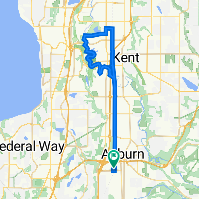
 one way tukawilla
- Distance
- 18.7 km
- Ascent
- 50 m
- Descent
- 67 m
- Location
- Auburn, Washington, United States
Open it in the app