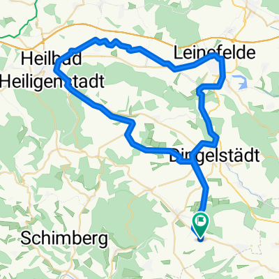
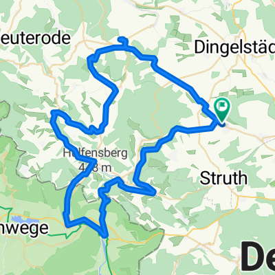
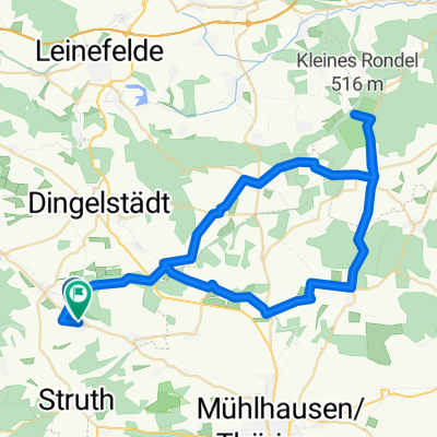
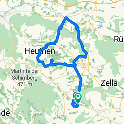
Mühlhäuser Landgraben
A cycling route starting in Büttstedt, Free State of Thuringia, Germany.
Overview
About this route
im Osten
- -:--
- Duration
- 49.7 km
- Distance
- 606 m
- Ascent
- 606 m
- Descent
- ---
- Avg. speed
- ---
- Avg. speed
Route quality
Waytypes & surfaces along the route
Waytypes
Track
22.2 km
(45 %)
Path
18.1 km
(36 %)
Surfaces
Paved
8.6 km
(17 %)
Unpaved
27.7 km
(56 %)
Ground
13.5 km
(27 %)
Gravel
9.5 km
(19 %)
Continue with Bikemap
Use, edit, or download this cycling route
You would like to ride Mühlhäuser Landgraben or customize it for your own trip? Here is what you can do with this Bikemap route:
Free features
- Save this route as favorite or in collections
- Copy & plan your own version of this route
- Sync your route with Garmin or Wahoo
Premium features
Free trial for 3 days, or one-time payment. More about Bikemap Premium.
- Navigate this route on iOS & Android
- Export a GPX / KML file of this route
- Create your custom printout (try it for free)
- Download this route for offline navigation
Discover more Premium features.
Get Bikemap PremiumFrom our community
Other popular routes starting in Büttstedt
- Büttstedt-Wachstedt
- Distance
- 6.9 km
- Ascent
- 133 m
- Descent
- 16 m
- Location
- Büttstedt, Free State of Thuringia, Germany
- Route nach Hauptstraße 30, Großbartloff
- Distance
- 10.7 km
- Ascent
- 248 m
- Descent
- 336 m
- Location
- Büttstedt, Free State of Thuringia, Germany
- Büttstedt-Unstrutradweg
- Distance
- 38 km
- Ascent
- 236 m
- Descent
- 239 m
- Location
- Büttstedt, Free State of Thuringia, Germany
- Mühlhäuser Landgraben
- Distance
- 49.7 km
- Ascent
- 606 m
- Descent
- 606 m
- Location
- Büttstedt, Free State of Thuringia, Germany
- Brunnenweg 2, Büttstedt nach Wiesenweg 11, Büttstedt
- Distance
- 21 km
- Ascent
- 291 m
- Descent
- 292 m
- Location
- Büttstedt, Free State of Thuringia, Germany
- Forsthaus Westerwald die 2.
- Distance
- 31.7 km
- Ascent
- 525 m
- Descent
- 526 m
- Location
- Büttstedt, Free State of Thuringia, Germany
- Büttstedt-Lengenfeld unterm Stein
- Distance
- 26.7 km
- Ascent
- 234 m
- Descent
- 225 m
- Location
- Büttstedt, Free State of Thuringia, Germany
- Forsthaus Westerwald
- Distance
- 27.6 km
- Ascent
- 407 m
- Descent
- 406 m
- Location
- Büttstedt, Free State of Thuringia, Germany
Open it in the app