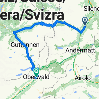
Maderanertal Bike
A cycling route starting in Silenen, Canton of Uri, Switzerland.
Overview
About this route
Starting point: Amsteg, bus stop Post
Explore one of the most popular hiking and biking areas in the Uri holiday region. The Maderanertal – wild and romantic with rushing brooks and splashing waterfalls. The destination of the tour is the historically significant SAC Hotel Maderanertal. From Amsteg, the first stage of your tour leads along the asphalt road to the village of Bristen. The partially blasted road winds up in tight curves and lets you gaze down into the valley time and again. After Bristen, you can recover on a flatter section up to the Golzern cable car. Following the Chärstelenbach, the natural path steadily climbs to the cozy restaurant Lägni. The tour takes you further through forests and fragrant alpine meadows – always accompanied by the sound of the brook. At the SAC Hotel Maderanertal, which dates back to the golden age of mountain guides, you will be rewarded with local hospitality and a fantastic view of the valley. The return journey leads you to Alp Butzli – don’t miss the side trip to the idyllic Butzlisee! Via a single trail with technically demanding sections, you will reach Guferen and continue to Alp Stössi with excellent alpine cheese. Via Herenlimi, you will reach the valley station of the Golzern cable car again. At St. Anton, you take a turn towards Vorder Ried and enjoy the attractive single trail back to Amsteg.
The tour is signposted throughout with number 412.
- -:--
- Duration
- 23.4 km
- Distance
- 1,608 m
- Ascent
- 1,137 m
- Descent
- ---
- Avg. speed
- ---
- Max. altitude
Route quality
Waytypes & surfaces along the route
Waytypes
Track
16.4 km
(70 %)
Road
4 km
(17 %)
Surfaces
Paved
2.6 km
(11 %)
Unpaved
15 km
(64 %)
Gravel
8.2 km
(35 %)
Unpaved (undefined)
6.5 km
(28 %)
Continue with Bikemap
Use, edit, or download this cycling route
You would like to ride Maderanertal Bike or customize it for your own trip? Here is what you can do with this Bikemap route:
Free features
- Save this route as favorite or in collections
- Copy & plan your own version of this route
- Sync your route with Garmin or Wahoo
Premium features
Free trial for 3 days, or one-time payment. More about Bikemap Premium.
- Navigate this route on iOS & Android
- Export a GPX / KML file of this route
- Create your custom printout (try it for free)
- Download this route for offline navigation
Discover more Premium features.
Get Bikemap PremiumFrom our community
Other popular routes starting in Silenen
 Gotthardstrasse 115, Silenen nach Via Caravaggio 4, Porlezza
- Distance
- 174 km
- Ascent
- 8,002 m
- Descent
- 8,261 m
- Location
- Silenen, Canton of Uri, Switzerland
 Gurtnellen-Dorf
- Distance
- 4.2 km
- Ascent
- 208 m
- Descent
- 192 m
- Location
- Silenen, Canton of Uri, Switzerland
 Custom Giro D'Italia
- Distance
- 1,744.6 km
- Ascent
- 3,201 m
- Descent
- 3,993 m
- Location
- Silenen, Canton of Uri, Switzerland
 Gurtnellen-Susten-Grimsel-Oberwald 86km, 3150hm
- Distance
- 88.5 km
- Ascent
- 3,006 m
- Descent
- 2,375 m
- Location
- Silenen, Canton of Uri, Switzerland
 Erstfeld - Arnisee Teil 2
- Distance
- 9 km
- Ascent
- 17 m
- Descent
- 176 m
- Location
- Silenen, Canton of Uri, Switzerland
 Silenen - Andermatt
- Distance
- 25.9 km
- Ascent
- 1,100 m
- Descent
- 151 m
- Location
- Silenen, Canton of Uri, Switzerland
 2 Giorno Svizzera San Gottardo
- Distance
- 93.3 km
- Ascent
- 2,498 m
- Descent
- 2,493 m
- Location
- Silenen, Canton of Uri, Switzerland
 Etappe 6 - Intschi (Andermatt) - Klausenpass - Walensee - Unterterzen (Restaurant Marina)
- Distance
- 105.4 km
- Ascent
- 2,755 m
- Descent
- 2,983 m
- Location
- Silenen, Canton of Uri, Switzerland
Open it in the app


