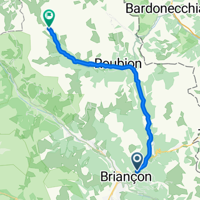
- 24.4 km
- 688 m
- 30 m
- Briançon, Provence-Alpes-Côte d'Azur Region, France
Col du Galibier via the old road
A cycling route starting in Briançon, Provence-Alpes-Côte d'Azur Region, France.
Overview
About this route
Mountain bike route fromBriancon on quiet roads/trails avoiding the main road. Then up the old road (now a gravel/grassy trail). Note, the descent of north side of Galibier includes jumping into deserted valley at Collet du Plan Nicolas (labeled). Relatively technical here.
- -:--
- Duration
- 52 km
- Distance
- 1,387 m
- Ascent
- 1,239 m
- Descent
- ---
- Avg. speed
- ---
- Max. altitude
created this 7 years ago
Route photos
Route highlights
Points of interest along the route
Point of interest after 36.1 km
Col du Galibier - 2642 metres
Point of interest after 38.9 km
Collet du Plan Nicolas - 2406 metres
Continue with Bikemap
Use, edit, or download this cycling route
You would like to ride Col du Galibier via the old road or customize it for your own trip? Here is what you can do with this Bikemap route:
Free features
- Save this route as favorite or in collections
- Copy & plan your own version of this route
- Sync your route with Garmin or Wahoo
Premium features
Free trial for 3 days, or one-time payment. More about Bikemap Premium.
- Navigate this route on iOS & Android
- Export a GPX / KML file of this route
- Create your custom printout (try it for free)
- Download this route for offline navigation
Discover more Premium features.
Get Bikemap PremiumFrom our community
Other popular routes starting in Briançon
- 01_Val des Prés - Refuge de Laval 25/700
- Francia Alpok 09 vándor
- 69.8 km
- 824 m
- 1,464 m
- Briançon, Provence-Alpes-Côte d'Azur Region, France
- 3 - Briançon - Aosta
- 484.2 km
- 8,198 m
- 8,841 m
- Briançon, Provence-Alpes-Côte d'Azur Region, France
- Briancon Col du Granon
- 17.1 km
- 1,243 m
- 52 m
- Briançon, Provence-Alpes-Côte d'Azur Region, France
- 01_Val-des-Prés bis Névache 30/900
- 28 km
- 889 m
- 141 m
- Briançon, Provence-Alpes-Côte d'Azur Region, France
- Izoard
- 83.4 km
- 1,566 m
- 1,566 m
- Briançon, Provence-Alpes-Côte d'Azur Region, France
- Col de Granon
- 34.7 km
- 1,198 m
- 1,198 m
- Briançon, Provence-Alpes-Côte d'Azur Region, France
- Briancon - Col d`Izoard - La Roche de Rame - Briancon
- 84 km
- 1,799 m
- 1,801 m
- Briançon, Provence-Alpes-Côte d'Azur Region, France
Open it in the app


