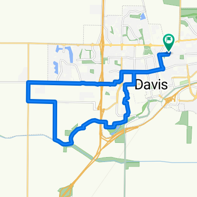
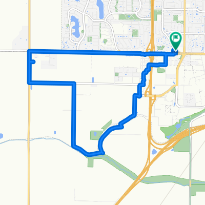
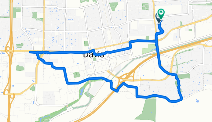
Lengthy Monday Track In Davis
A cycling route starting in Davis, California, United States.
Overview
About this route
- 1 h 11 min
- Duration
- 11.5 km
- Distance
- 20 m
- Ascent
- 16 m
- Descent
- 9.7 km/h
- Avg. speed
- ---
- Max. altitude
Route quality
Waytypes & surfaces along the route
Waytypes
Cycleway
6.2 km
(54 %)
Quiet road
2.5 km
(22 %)
Surfaces
Paved
3.2 km
(28 %)
Asphalt
1.8 km
(16 %)
Concrete
1.4 km
(12 %)
Undefined
8.3 km
(72 %)
Continue with Bikemap
Use, edit, or download this cycling route
You would like to ride Lengthy Monday Track In Davis or customize it for your own trip? Here is what you can do with this Bikemap route:
Free features
- Save this route as favorite or in collections
- Copy & plan your own version of this route
- Sync your route with Garmin or Wahoo
Premium features
Free trial for 3 days, or one-time payment. More about Bikemap Premium.
- Navigate this route on iOS & Android
- Export a GPX / KML file of this route
- Create your custom printout (try it for free)
- Download this route for offline navigation
Discover more Premium features.
Get Bikemap PremiumFrom our community
Other popular routes starting in Davis
Davis Bike Loop Plus Coffee- Distance
- 22.8 km
- Ascent
- 27 m
- Descent
- 26 m
- Location
- Davis, California, United States
Davis > Hyampom Outer Valley Rte- Distance
- 420.2 km
- Ascent
- 1,800 m
- Descent
- 1,219 m
- Location
- Davis, California, United States
Putah Creek Loop- Distance
- 12.4 km
- Ascent
- 22 m
- Descent
- 22 m
- Location
- Davis, California, United States
Davis Loop, but Prettier- Distance
- 25.2 km
- Ascent
- 52 m
- Descent
- 53 m
- Location
- Davis, California, United States
300–328 3rd St, Davis to 2455 W Capitol Ave, West Sacramento- Distance
- 19.2 km
- Ascent
- 3 m
- Descent
- 16 m
- Location
- Davis, California, United States
davis mtb/gravel- Distance
- 47.7 km
- Ascent
- 23 m
- Descent
- 22 m
- Location
- Davis, California, United States
Lengthy Monday Track In Davis- Distance
- 11.5 km
- Ascent
- 20 m
- Descent
- 16 m
- Location
- Davis, California, United States
UCDavis to Yocal Coop- Distance
- 22.9 km
- Ascent
- 12 m
- Descent
- 10 m
- Location
- Davis, California, United States
Open it in the app


