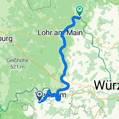
Neunkirchen - Gemünden am Main
- 67 km
- 705 m
- 864 m
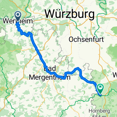
- Wertheim am Main, Baden-Wurttemberg, Germany
A cycling route starting in Wertheim am Main, Baden-Wurttemberg, Germany.
Overview
Beschilderung "Liebliches Taubertal - Der Klassiker"
created this 7 years ago
Route quality
Track
53.5 km
(55 %)
Quiet road
28.2 km
(29 %)
Paved
89.6 km
(92 %)
Unpaved
1 km
(1 %)
Asphalt
79.8 km
(82 %)
Paved (undefined)
9.7 km
(10 %)
Continue with Bikemap
You would like to ride Radweg Liebliches Taubertal Wertheim - Rothenburg or customize it for your own trip? Here is what you can do with this Bikemap route:
Free trial for 3 days, or one-time payment. More about Bikemap Premium.
Discover more Premium features.
Get Bikemap PremiumFrom our community
Open it in the app