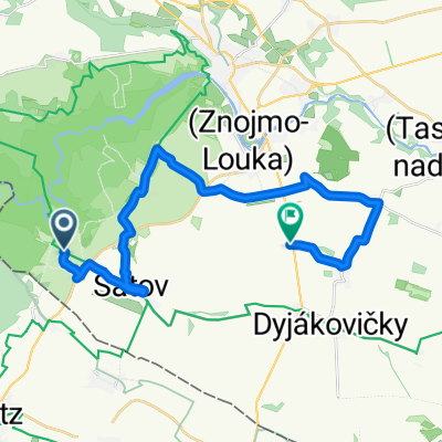
Hotel Happy Star - Znojmo --HHS okruh
- 38.7 km
- 445 m
- 444 m
- Šatov, South Moravian, Czechia
A cycling route starting in Šatov, South Moravian, Czechia.
Overview
created this 7 years ago
Route quality
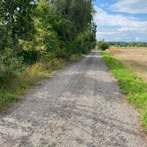
Track
41.3 km
(25 %)
Road
29.8 km
(18 %)
Paved
41.3 km
(25 %)
Unpaved
18.2 km
(11 %)
Asphalt
36.4 km
(22 %)
Gravel
9.9 km
(6 %)
Route highlights
Penzion Jelen
Hotel Nobis
Continue with Bikemap
You would like to ride Eiserner Vorhang (overview): Satov - Gmünd or customize it for your own trip? Here is what you can do with this Bikemap route:
Free trial for 3 days, or one-time payment. More about Bikemap Premium.
Discover more Premium features.
Get Bikemap PremiumFrom our community
Open it in the app