
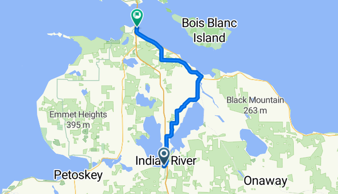
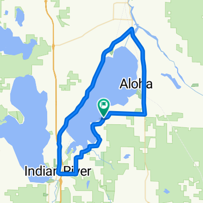
burt lake to mackinaw 40miles
A cycling route starting in Indian River, Michigan, United States of America.
Overview
About this route
- -:--
- Duration
- 64.7 km
- Distance
- 147 m
- Ascent
- 157 m
- Descent
- ---
- Avg. speed
- ---
- Max. altitude

Route quality
Waytypes & surfaces along the route
Waytypes
Quiet road
45.7 km
(71 %)
Cycleway
8 km
(12 %)
Surfaces
Paved
46.4 km
(72 %)
Unpaved
15.5 km
(24 %)
Asphalt
25.4 km
(39 %)
Paved (undefined)
20.8 km
(32 %)
Continue with Bikemap
Use, edit, or download this cycling route
You would like to ride burt lake to mackinaw 40miles or customize it for your own trip? Here is what you can do with this Bikemap route:
Free features
- Save this route as favorite or in collections
- Copy & plan your own version of this route
- Sync your route with Garmin or Wahoo
Premium features
Free trial for 3 days, or one-time payment. More about Bikemap Premium.
- Navigate this route on iOS & Android
- Export a GPX / KML file of this route
- Create your custom printout (try it for free)
- Download this route for offline navigation
Discover more Premium features.
Get Bikemap PremiumFrom our community
Other popular routes starting in Indian River
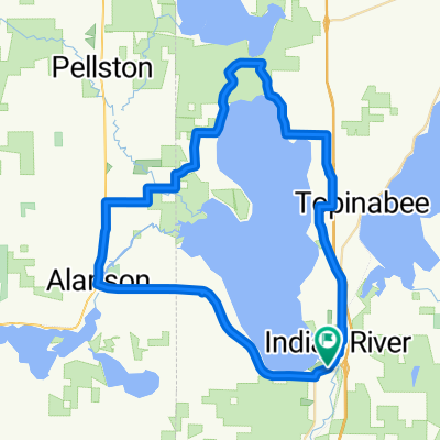 Around Burt Lake
- Distance
- 58.4 km
- Ascent
- 205 m
- Descent
- 200 m
- Location
- Indian River, Michigan, United States of America
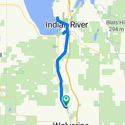 Haakwood to Nature Preserve
- Distance
- 32.6 km
- Ascent
- 130 m
- Descent
- 129 m
- Location
- Indian River, Michigan, United States of America
 362–490 Miller Rd, Alanson to 299 Miller Rd, Alanson
- Distance
- 23.2 km
- Ascent
- 341 m
- Descent
- 344 m
- Location
- Indian River, Michigan, United States of America
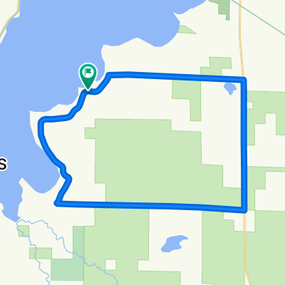
 Burt lake to Cheboygan state park
- Distance
- 42 km
- Ascent
- 137 m
- Descent
- 145 m
- Location
- Indian River, Michigan, United States of America
 2009 DALMAC 4 day east, Day 4, Topinabee to Pellston Michigan
- Distance
- 21.7 km
- Ascent
- 182 m
- Descent
- 157 m
- Location
- Indian River, Michigan, United States of America
 Short bike tour through Ayr
- Distance
- 0.2 km
- Ascent
- 0 m
- Descent
- 0 m
- Location
- Indian River, Michigan, United States of America
 Devereaux - Hackleburg Loop
- Distance
- 23.9 km
- Ascent
- 139 m
- Descent
- 142 m
- Location
- Indian River, Michigan, United States of America
 Around Mullet Lake
- Distance
- 59 km
- Ascent
- 243 m
- Descent
- 243 m
- Location
- Indian River, Michigan, United States of America
Open it in the app