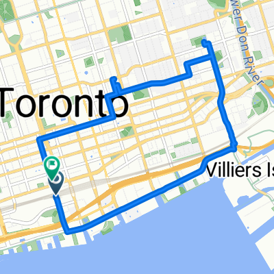
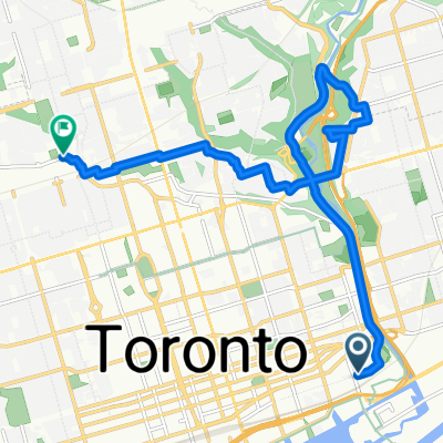
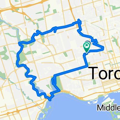
Earl Bales Aug 6
A cycling route starting in Toronto, Ontario, Canada.
Overview
About this route
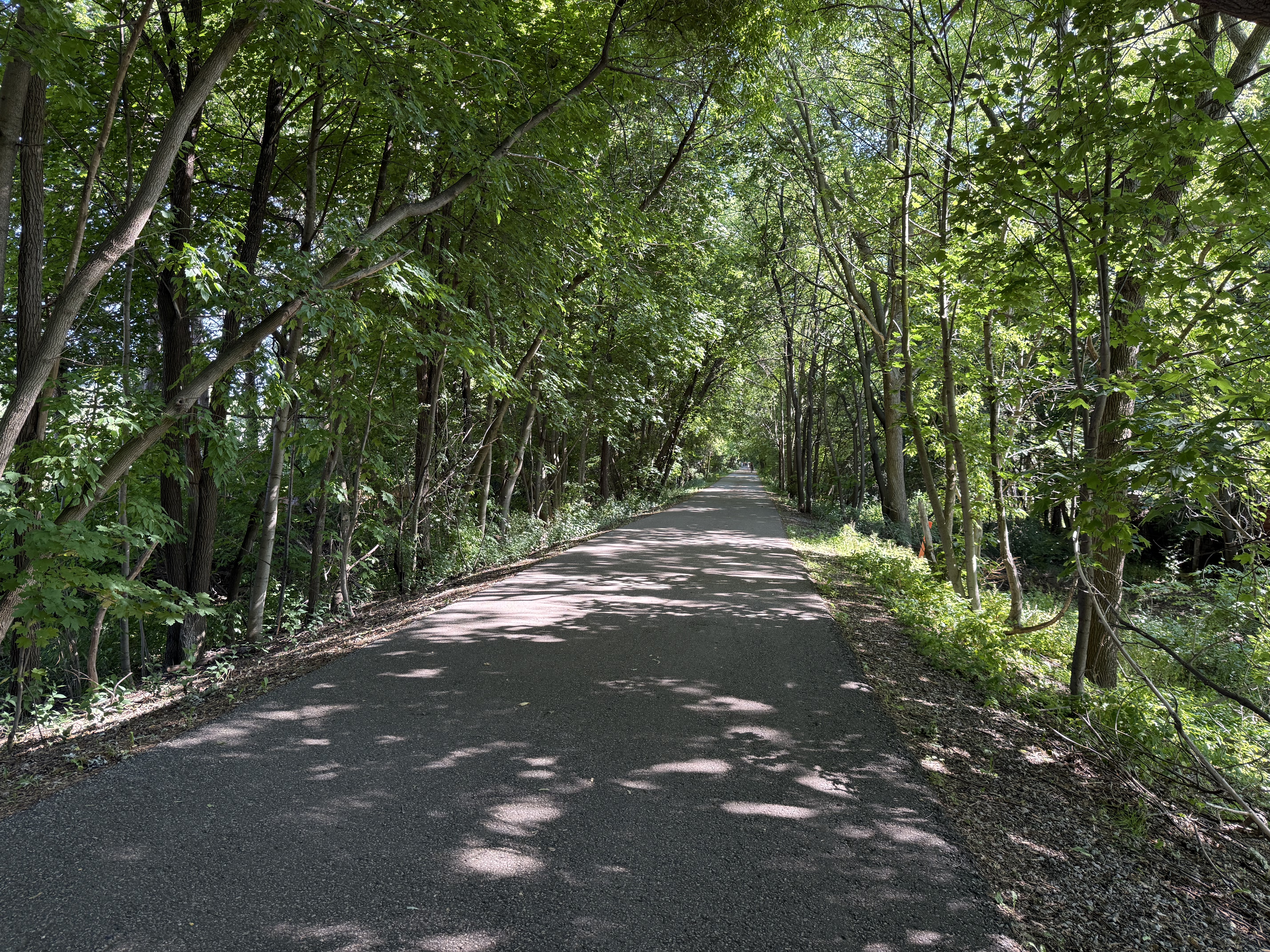
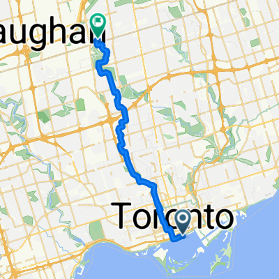
30°C and sunny today. Out for about an hour. Up to Earl Bales the usual way, turned around at the end of the Hinder Property then got all the way up the big hill. Hit up Rajah, Bannockburn, Old Orchard, Ledbury, and Woburn. Would have gone into Hinder but there doesn't seem to be much biking potential; next time bring a lock and walk in the forest. One stop along the way at the pond on the way back from Hinder to drink and rest for a minute. 9/10 mood, 8/10 brutality.
- -:--
- Duration
- 15.6 km
- Distance
- 63 m
- Ascent
- 65 m
- Descent
- ---
- Avg. speed
- ---
- Avg. speed
Route quality
Waytypes & surfaces along the route
Waytypes
Quiet road
7.7 km
(49 %)
Cycleway
4 km
(26 %)
Surfaces
Paved
14.8 km
(94 %)
Asphalt
14.7 km
(94 %)
Concrete
0.1 km
(<1 %)
Continue with Bikemap
Use, edit, or download this cycling route
You would like to ride Earl Bales Aug 6 or customize it for your own trip? Here is what you can do with this Bikemap route:
Free features
- Save this route as favorite or in collections
- Copy & plan your own version of this route
- Sync your route with Garmin or Wahoo
Premium features
Free trial for 3 days, or one-time payment. More about Bikemap Premium.
- Navigate this route on iOS & Android
- Export a GPX / KML file of this route
- Create your custom printout (try it for free)
- Download this route for offline navigation
Discover more Premium features.
Get Bikemap PremiumFrom our community
Other popular routes starting in Toronto
- - Short steep climbs & fast descents in the Beach
- Distance
- 5.4 km
- Ascent
- 107 m
- Descent
- 110 m
- Location
- Toronto, Ontario, Canada
- High Park
- Distance
- 18.4 km
- Ascent
- 63 m
- Descent
- 63 m
- Location
- Toronto, Ontario, Canada
- Cabana
- Distance
- 13.1 km
- Ascent
- 91 m
- Descent
- 93 m
- Location
- Toronto, Ontario, Canada
- 2020-05-20 Morning round DT Toronto
- Distance
- 34.9 km
- Ascent
- 168 m
- Descent
- 165 m
- Location
- Toronto, Ontario, Canada
- Eglinton West to Union Station Via Riverdale Farm and Tommy Thompson Park
- Distance
- 33.2 km
- Ascent
- 98 m
- Descent
- 184 m
- Location
- Toronto, Ontario, Canada
- -Short Steep climbs & fast descents in the Beach
- Distance
- 5.2 km
- Ascent
- 98 m
- Descent
- 108 m
- Location
- Toronto, Ontario, Canada
- East York to Indian Line campground
- Distance
- 47.4 km
- Ascent
- 242 m
- Descent
- 143 m
- Location
- Toronto, Ontario, Canada
- Lawrence West to Union Station Via Sunnybrook, Taylor Creek, Boardwalk, Tommy Thompson Park
- Distance
- 42.3 km
- Ascent
- 187 m
- Descent
- 282 m
- Location
- Toronto, Ontario, Canada
Open it in the app