work to Claire
- 8.5 km
- 33 m
- 103 m
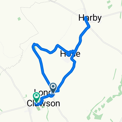
- Grimston, England, United Kingdom
A cycling route starting in Grimston, England, United Kingdom.
Overview
Beacon Hill, via Barrow, Mt, sorrell, Woodhouse, Newtown Linford, Rothley, Cossington, Thrussington, Frisby etc
created this 7 years ago
Route quality
Road
63.3 km
(75 %)
Quiet road
16 km
(19 %)
Paved
21.1 km
(25 %)
Unpaved
0.8 km
(1 %)
Asphalt
20.3 km
(24 %)
Concrete
0.8 km
(1 %)
Continue with Bikemap
You would like to ride Beacon or customize it for your own trip? Here is what you can do with this Bikemap route:
Free trial for 3 days, or one-time payment. More about Bikemap Premium.
Discover more Premium features.
Get Bikemap PremiumFrom our community
Open it in the app