

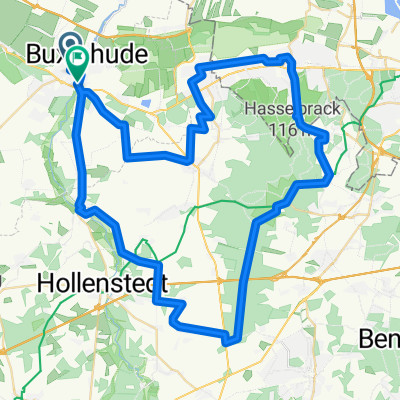
Naturwald Braken 2018
A cycling route starting in Buxtehude, Lower Saxony, Germany.
Overview
About this route
Tour as part of the cycling tour program TSV Buxtehude-Altkloster on August 26, 2018
- -:--
- Duration
- 73.7 km
- Distance
- 147 m
- Ascent
- 112 m
- Descent
- ---
- Avg. speed
- ---
- Max. altitude

Route quality
Waytypes & surfaces along the route
Waytypes
Quiet road
31 km
(42 %)
Track
24.3 km
(33 %)
Surfaces
Paved
38.3 km
(52 %)
Unpaved
12.5 km
(17 %)
Asphalt
33.2 km
(45 %)
Gravel
11.1 km
(15 %)
Continue with Bikemap
Use, edit, or download this cycling route
You would like to ride Naturwald Braken 2018 or customize it for your own trip? Here is what you can do with this Bikemap route:
Free features
- Save this route as favorite or in collections
- Copy & plan your own version of this route
- Sync your route with Garmin or Wahoo
Premium features
Free trial for 3 days, or one-time payment. More about Bikemap Premium.
- Navigate this route on iOS & Android
- Export a GPX / KML file of this route
- Create your custom printout (try it for free)
- Download this route for offline navigation
Discover more Premium features.
Get Bikemap PremiumFrom our community
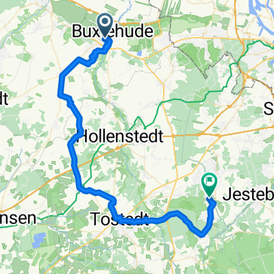
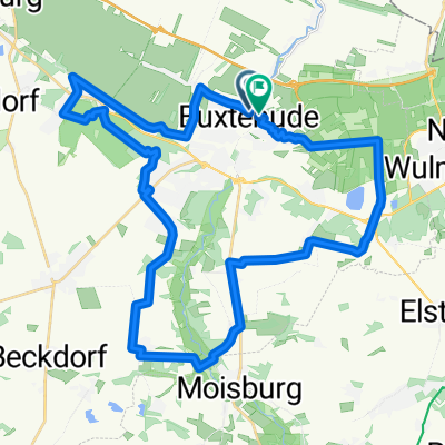
Other popular routes starting in Buxtehude
 Hochwildpark Schwarze Berge
- Distance
- 63.2 km
- Ascent
- 255 m
- Descent
- 255 m
- Location
- Buxtehude, Lower Saxony, Germany
 Heidenauer Hochzeitswald
- Distance
- 54.1 km
- Ascent
- 158 m
- Descent
- 158 m
- Location
- Buxtehude, Lower Saxony, Germany
 Buxtehude - Stade - Altes Land
- Distance
- 80.7 km
- Ascent
- 92 m
- Descent
- 92 m
- Location
- Buxtehude, Lower Saxony, Germany
 Aurora
- Distance
- 65.3 km
- Ascent
- 192 m
- Descent
- 195 m
- Location
- Buxtehude, Lower Saxony, Germany
 Buxtehude - Apensen - Nindorf - Buxtehude
- Distance
- 11.1 km
- Ascent
- 28 m
- Descent
- 27 m
- Location
- Buxtehude, Lower Saxony, Germany
 Büsenbachtal_2025
- Distance
- 48.8 km
- Ascent
- 268 m
- Descent
- 224 m
- Location
- Buxtehude, Lower Saxony, Germany
 Has' und Igelroute: Altes Land am Elbstrom Radtour
- Distance
- 37.9 km
- Ascent
- 182 m
- Descent
- 182 m
- Location
- Buxtehude, Lower Saxony, Germany
 Steinroute
- Distance
- 58.9 km
- Ascent
- 138 m
- Descent
- 136 m
- Location
- Buxtehude, Lower Saxony, Germany
Open it in the app