

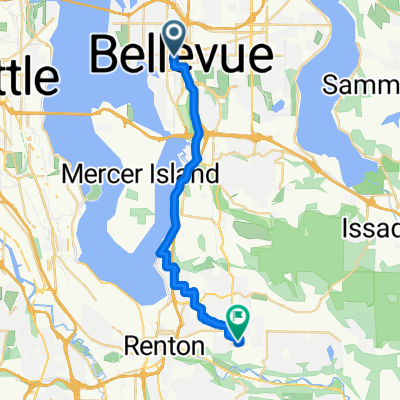
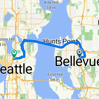
Century Ride - Seattle to Vancouver
A cycling route starting in Bellevue, Washington, United States.
Overview
About this route
- -:--
- Duration
- 152.8 km
- Distance
- 502 m
- Ascent
- 550 m
- Descent
- ---
- Avg. speed
- ---
- Max. altitude

Route quality
Waytypes & surfaces along the route
Waytypes
Cycleway
61.1 km
(40 %)
Road
22.9 km
(15 %)
Surfaces
Paved
125.3 km
(82 %)
Asphalt
113.1 km
(74 %)
Paved (undefined)
7.6 km
(5 %)
Route highlights
Points of interest along the route
Drinking water after 22.5 km
Drinking water after 33.1 km
Continue with Bikemap
Use, edit, or download this cycling route
You would like to ride Century Ride - Seattle to Vancouver or customize it for your own trip? Here is what you can do with this Bikemap route:
Free features
- Save this route as favorite or in collections
- Copy & plan your own version of this route
- Split it into stages to create a multi-day tour
- Sync your route with Garmin or Wahoo
Premium features
Free trial for 3 days, or one-time payment. More about Bikemap Premium.
- Navigate this route on iOS & Android
- Export a GPX / KML file of this route
- Create your custom printout (try it for free)
- Download this route for offline navigation
Discover more Premium features.
Get Bikemap PremiumFrom our community
Other popular routes starting in Bellevue
 25M - Bellevue, MI, Medina loop
- Distance
- 41.7 km
- Ascent
- 626 m
- Descent
- 630 m
- Location
- Bellevue, Washington, United States
 Reinier2
- Distance
- 116.1 km
- Ascent
- 870 m
- Descent
- 397 m
- Location
- Bellevue, Washington, United States
 morning ride
- Distance
- 23.9 km
- Ascent
- 0 m
- Descent
- 0 m
- Location
- Bellevue, Washington, United States
 Moderate route in Bellevue
- Distance
- 24.2 km
- Ascent
- 237 m
- Descent
- 254 m
- Location
- Bellevue, Washington, United States
 Work_To_Home
- Distance
- 21 km
- Ascent
- 192 m
- Descent
- 124 m
- Location
- Bellevue, Washington, United States
 10333 Main St, Bellevue to 80 Kirkland Ave, Kirkland
- Distance
- 10.6 km
- Ascent
- 0 m
- Descent
- 10 m
- Location
- Bellevue, Washington, United States
 Shopify 👉 Home
- Distance
- 18.7 km
- Ascent
- 257 m
- Descent
- 238 m
- Location
- Bellevue, Washington, United States
 Going extra miles in Bellevue
- Distance
- 10.7 km
- Ascent
- 0 m
- Descent
- 0 m
- Location
- Bellevue, Washington, United States
Open it in the app