

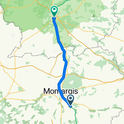
Montargis-Morvan-Chalon (véloroute)-Macon-Lyon
A cycling route starting in Amilly, Centre-Val de Loire, France.
Overview
About this route
Rides on recumbent tricycles and wild camping
- -:--
- Duration
- 426.8 km
- Distance
- 1,098 m
- Ascent
- 1,008 m
- Descent
- ---
- Avg. speed
- ---
- Max. altitude
Route quality
Waytypes & surfaces along the route
Waytypes
Road
85.4 km
(20 %)
Quiet road
59.7 km
(14 %)
Surfaces
Paved
234.7 km
(55 %)
Unpaved
4.3 km
(1 %)
Asphalt
230.4 km
(54 %)
Concrete
4.3 km
(1 %)
Route highlights
Points of interest along the route
Point of interest after 327.9 km
sortie tunnel du Bois clair
Continue with Bikemap
Use, edit, or download this cycling route
You would like to ride Montargis-Morvan-Chalon (véloroute)-Macon-Lyon or customize it for your own trip? Here is what you can do with this Bikemap route:
Free features
- Save this route as favorite or in collections
- Copy & plan your own version of this route
- Split it into stages to create a multi-day tour
- Sync your route with Garmin or Wahoo
Premium features
Free trial for 3 days, or one-time payment. More about Bikemap Premium.
- Navigate this route on iOS & Android
- Export a GPX / KML file of this route
- Create your custom printout (try it for free)
- Download this route for offline navigation
Discover more Premium features.
Get Bikemap PremiumFrom our community
Other popular routes starting in Amilly
 De Écluse de la Sablonnière a Rue Thiers
- Distance
- 75.4 km
- Ascent
- 363 m
- Descent
- 345 m
- Location
- Amilly, Centre-Val de Loire, France
 De Rue des Ponts, Amilly à 2 Rue Hoche, Montargis
- Distance
- 4.1 km
- Ascent
- 0 m
- Descent
- 3 m
- Location
- Amilly, Centre-Val de Loire, France
 amilly/amilly CSA
- Distance
- 94.5 km
- Ascent
- 311 m
- Descent
- 308 m
- Location
- Amilly, Centre-Val de Loire, France
 Canal de Briare 2
- Distance
- 11.5 km
- Ascent
- 28 m
- Descent
- 13 m
- Location
- Amilly, Centre-Val de Loire, France
 4.Etappe Bocholt Aurillac
- Distance
- 184.2 km
- Ascent
- 516 m
- Descent
- 367 m
- Location
- Amilly, Centre-Val de Loire, France
 Montargis-Morvan-Chalon (véloroute)-Macon-Lyon
- Distance
- 426.8 km
- Ascent
- 1,098 m
- Descent
- 1,008 m
- Location
- Amilly, Centre-Val de Loire, France
 Amilly EZF Paris-Nice 2009
- Distance
- 9.2 km
- Ascent
- 33 m
- Descent
- 27 m
- Location
- Amilly, Centre-Val de Loire, France
 Day 2 Conflans to Nevers
- Distance
- 136.2 km
- Ascent
- 161 m
- Descent
- 82 m
- Location
- Amilly, Centre-Val de Loire, France
Open it in the app