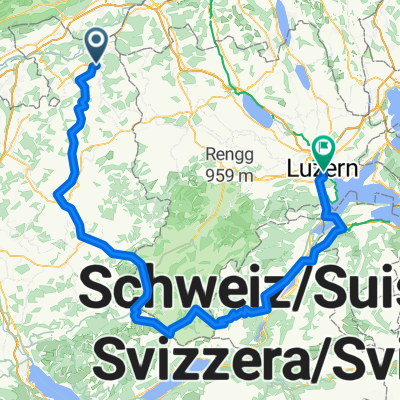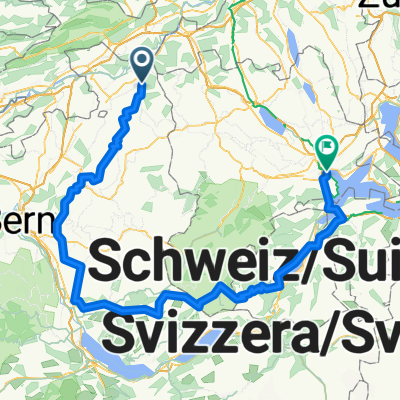
Burgdorf - Habkern - Sarnen - Luzern
- 177 km
- 4,819 m
- 4,861 m
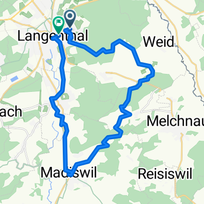
- Langenthal, Canton of Bern, Switzerland
A cycling route starting in Langenthal, Canton of Bern, Switzerland.
Overview
created this 7 years ago
Route quality
Quiet road
14.8 km
(31 %)
Track
14.8 km
(31 %)
Paved
21.5 km
(45 %)
Unpaved
20.5 km
(43 %)
Asphalt
21.5 km
(45 %)
Gravel
13.4 km
(28 %)
Continue with Bikemap
You would like to ride Aare Solothurn or customize it for your own trip? Here is what you can do with this Bikemap route:
Free trial for 3 days, or one-time payment. More about Bikemap Premium.
Discover more Premium features.
Get Bikemap PremiumFrom our community
Open it in the app