
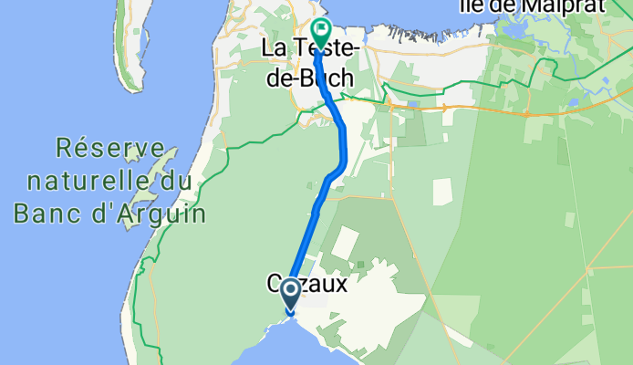
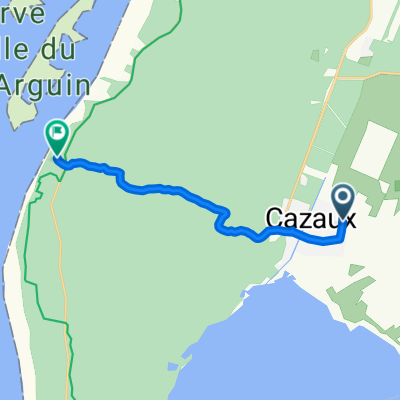
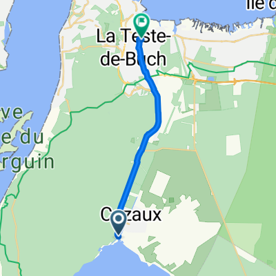
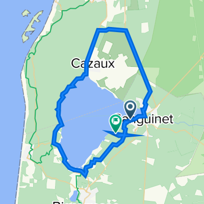
Cazaux zum Bahnhof Teste de Buch
A cycling route starting in Sanguinet, Nouvelle-Aquitaine, France.
Overview
About this route
- -:--
- Duration
- 13.1 km
- Distance
- 23 m
- Ascent
- 47 m
- Descent
- ---
- Avg. speed
- ---
- Max. altitude
Route quality
Waytypes & surfaces along the route
Waytypes
Cycleway
8.9 km
(68 %)
Quiet road
1.3 km
(10 %)
Surfaces
Paved
11.1 km
(85 %)
Asphalt
11.1 km
(85 %)
Undefined
2 km
(15 %)
Continue with Bikemap
Use, edit, or download this cycling route
You would like to ride Cazaux zum Bahnhof Teste de Buch or customize it for your own trip? Here is what you can do with this Bikemap route:
Free features
- Save this route as favorite or in collections
- Copy & plan your own version of this route
- Sync your route with Garmin or Wahoo
Premium features
Free trial for 3 days, or one-time payment. More about Bikemap Premium.
- Navigate this route on iOS & Android
- Export a GPX / KML file of this route
- Create your custom printout (try it for free)
- Download this route for offline navigation
Discover more Premium features.
Get Bikemap PremiumFrom our community
Other popular routes starting in Sanguinet
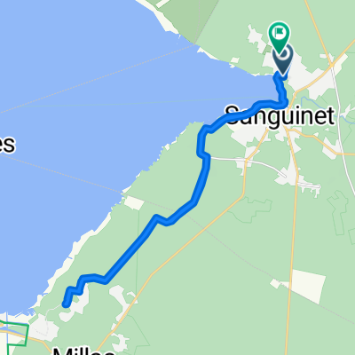
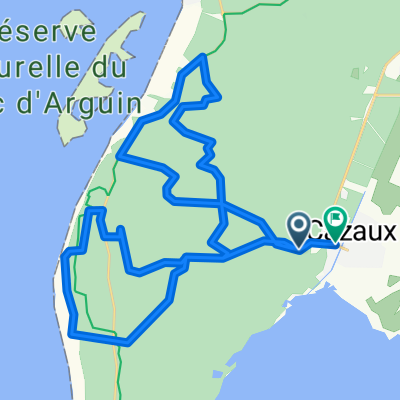
 Itinéraire à partir de Allée Marie Dufaure Cazaux, La Teste-de-Buch
- Distance
- 10.1 km
- Ascent
- 264 m
- Descent
- 271 m
- Location
- Sanguinet, Nouvelle-Aquitaine, France
 Campéole Le Lac de Sanguinet - Campéole Page Sud
- Distance
- 22.1 km
- Ascent
- 130 m
- Descent
- 141 m
- Location
- Sanguinet, Nouvelle-Aquitaine, France
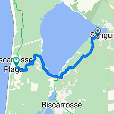
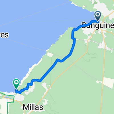
 Voie comme un escargot dans Sanguinet
- Distance
- 25.1 km
- Ascent
- 28 m
- Descent
- 18 m
- Location
- Sanguinet, Nouvelle-Aquitaine, France
 cazaux - cazaux
- Distance
- 39.3 km
- Ascent
- 289 m
- Descent
- 300 m
- Location
- Sanguinet, Nouvelle-Aquitaine, France
 Cazaux zum Bahnhof Teste de Buch
- Distance
- 13.1 km
- Ascent
- 23 m
- Descent
- 47 m
- Location
- Sanguinet, Nouvelle-Aquitaine, France
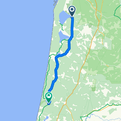
 Itinéraire modéré en Biscarrosse
- Distance
- 11.5 km
- Ascent
- 53 m
- Descent
- 74 m
- Location
- Sanguinet, Nouvelle-Aquitaine, France
 1998 - Connection francaise - 1. Tag - Sanguinet - Léon
- Distance
- 79 km
- Ascent
- 177 m
- Descent
- 179 m
- Location
- Sanguinet, Nouvelle-Aquitaine, France
 Lac Sanguinet
- Distance
- 60.9 km
- Ascent
- 101 m
- Descent
- 95 m
- Location
- Sanguinet, Nouvelle-Aquitaine, France
Open it in the app