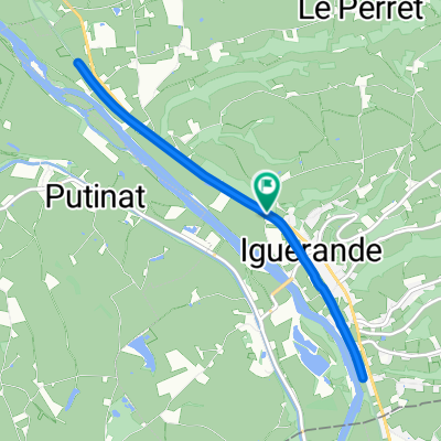
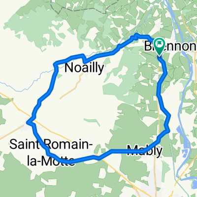
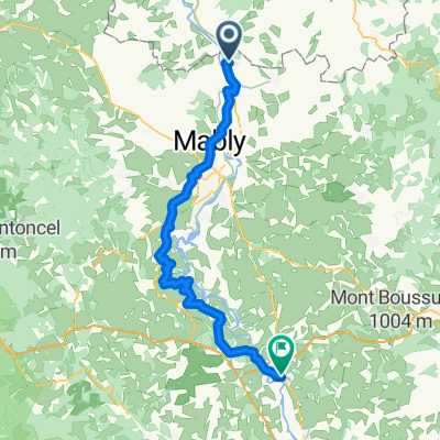
Le Benisson-Dieu to Belleville
A cycling route starting in Briennon, Auvergne-Rh么ne-Alpes, France.
Overview
About this route
- -:--
- Duration
- 63.7 km
- Distance
- 508 m
- Ascent
- 605 m
- Descent
- ---
- Avg. speed
- ---
- Max. altitude
Route quality
Waytypes & surfaces along the route
Waytypes
Cycleway
14 km
(22 %)
Road
10.8 km
(17 %)
Surfaces
Paved
45.2 km
(71 %)
Asphalt
45.2 km
(71 %)
Undefined
18.5 km
(29 %)
Continue with Bikemap
Use, edit, or download this cycling route
You would like to ride Le Benisson-Dieu to Belleville or customize it for your own trip? Here is what you can do with this Bikemap route:
Free features
- Save this route as favorite or in collections
- Copy & plan your own version of this route
- Sync your route with Garmin or Wahoo
Premium features
Free trial for 3 days, or one-time payment. More about Bikemap Premium.
- Navigate this route on iOS & Android
- Export a GPX / KML file of this route
- Create your custom printout (try it for free)
- Download this route for offline navigation
Discover more Premium features.
Get Bikemap PremiumFrom our community
Other popular routes starting in Briennon
- Parcours Poussins 1
- Distance
- 6.3 km
- Ascent
- 51 m
- Descent
- 51 m
- Location
- Briennon, Auvergne-Rh么ne-Alpes, France
- Briennon - Decize
- Distance
- 118.7 km
- Ascent
- 179 m
- Descent
- 276 m
- Location
- Briennon, Auvergne-Rh么ne-Alpes, France
- Jakobsweg 13. Etappe Briennon - Boen-sur-Lignon
- Distance
- 56.5 km
- Ascent
- 478 m
- Descent
- 304 m
- Location
- Briennon, Auvergne-Rh么ne-Alpes, France
- 2022 Loire Tal
- Distance
- 14.3 km
- Ascent
- 38 m
- Descent
- 47 m
- Location
- Briennon, Auvergne-Rh么ne-Alpes, France
- De Voie Verte (Iguerande - Montceaux-l'脡toile) 脿 Voie Verte (Iguerande - Montceaux-l'脡toile)
- Distance
- 8.5 km
- Ascent
- 102 m
- Descent
- 107 m
- Location
- Briennon, Auvergne-Rh么ne-Alpes, France
- L'脡cluse, Briennon to Avenue de la Gare, Pouilly-sous-Charlieu
- Distance
- 3.9 km
- Ascent
- 17 m
- Descent
- 18 m
- Location
- Briennon, Auvergne-Rh么ne-Alpes, France
- Briennon - Bellegarde-en-Forez
- Distance
- 77.2 km
- Ascent
- 751 m
- Descent
- 626 m
- Location
- Briennon, Auvergne-Rh么ne-Alpes, France
- Parcours Minimes 2
- Distance
- 24.9 km
- Ascent
- 253 m
- Descent
- 184 m
- Location
- Briennon, Auvergne-Rh么ne-Alpes, France
Open it in the app