Stage 0, Crozet - Aigle (North Shore)
- 104.6 km
- 195 m
- 325 m
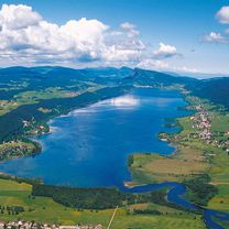
- Chevry, Auvergne-Rhône-Alpes, France
In case of bad weather we take the shortest and flattest possible way to Aigle
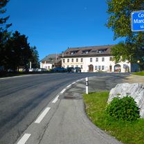
Quiet road
23 km22 %Road
10.5 km10 %Paved
75.3 km(72 %)Unpaved
1 km(1 %)Asphalt
73.2 km70 %Paved (undefined)
2.1 km2 %Free trial for 3 days, or one-time payment. More about Bikemap Premium.
Discover more Premium features.
Get Bikemap PremiumOpen it in the app