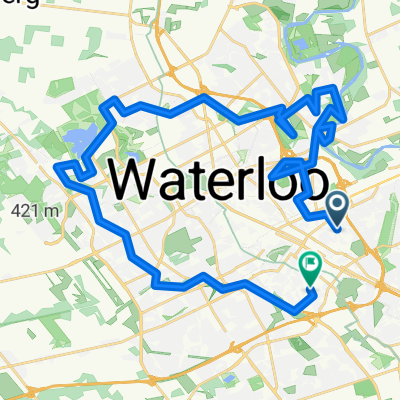
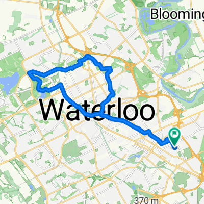
Elora Loop 2
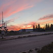
A cycling route starting in Waterloo, Ontario, Canada.
Overview
About this route
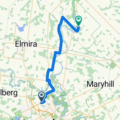
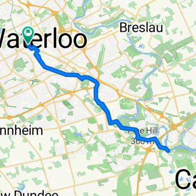
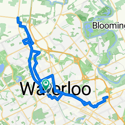
Alternate Route that travels along side Elora without going through. Roads are generally quite smooth. Mix of long and short climbs and hills. Generally pretty tame.
- -:--
- Duration
- 62.4 km
- Distance
- 148 m
- Ascent
- 148 m
- Descent
- ---
- Avg. speed
- ---
- Max. altitude
Route quality
Waytypes & surfaces along the route
Waytypes
Quiet road
18.1 km
(29 %)
Road
1.9 km
(3 %)
Surfaces
Paved
50.5 km
(81 %)
Unpaved
0.6 km
(1 %)
Asphalt
33.7 km
(54 %)
Paved (undefined)
16.8 km
(27 %)
Continue with Bikemap
Use, edit, or download this cycling route
You would like to ride Elora Loop 2 or customize it for your own trip? Here is what you can do with this Bikemap route:
Free features
- Save this route as favorite or in collections
- Copy & plan your own version of this route
- Sync your route with Garmin or Wahoo
Premium features
Free trial for 3 days, or one-time payment. More about Bikemap Premium.
- Navigate this route on iOS & Android
- Export a GPX / KML file of this route
- Create your custom printout (try it for free)
- Download this route for offline navigation
Discover more Premium features.
Get Bikemap PremiumFrom our community
Other popular routes starting in Waterloo
- 100kms loop Wloo - Milverton - Millbank
- Distance
- 101.4 km
- Ascent
- 218 m
- Descent
- 218 m
- Location
- Waterloo, Ontario, Canada
- Home - Linda's in Baden - Home
- Distance
- 49.2 km
- Ascent
- 229 m
- Descent
- 230 m
- Location
- Waterloo, Ontario, Canada
- 32.5 kms - 1-1/4 hrs.
- Distance
- 32.5 km
- Ascent
- 117 m
- Descent
- 118 m
- Location
- Waterloo, Ontario, Canada
- Elora Loop 2
- Distance
- 62.4 km
- Ascent
- 148 m
- Descent
- 148 m
- Location
- Waterloo, Ontario, Canada
- NW Pointing Arrow
- Distance
- 37.9 km
- Ascent
- 164 m
- Descent
- 164 m
- Location
- Waterloo, Ontario, Canada
- St. Jakes to Hawkesville Bakery
- Distance
- 9.5 km
- Ascent
- 81 m
- Descent
- 70 m
- Location
- Waterloo, Ontario, Canada
- 97.3 kms - Lovely Lisbon
- Distance
- 93.7 km
- Ascent
- 173 m
- Descent
- 173 m
- Location
- Waterloo, Ontario, Canada
- Waterloo/Bloomingdale Short Burn Turnaround CLONED FROM ROUTE 2035732
- Distance
- 18.9 km
- Ascent
- 117 m
- Descent
- 116 m
- Location
- Waterloo, Ontario, Canada
Open it in the app