I wycieczka po okolicy szczyrku CLONED FROM ROUTE 479261
- 55.9 km
- 1,610 m
- 1,684 m
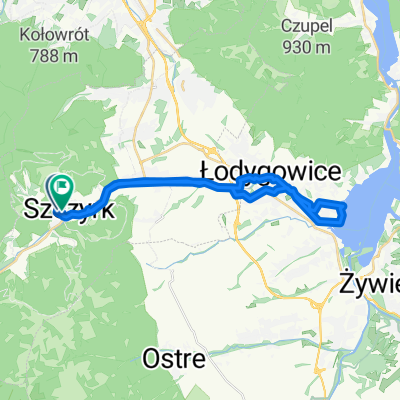
- Szczyrk, Silesian Voivodeship, Poland
A cycling route starting in Szczyrk, Silesian Voivodeship, Poland.
Overview
created this 7 years ago
Route quality
Quiet road
18.7 km
(26 %)
Road
15.1 km
(21 %)
Paved
52.4 km
(73 %)
Asphalt
52.4 km
(73 %)
Undefined
19.4 km
(27 %)
Continue with Bikemap
You would like to ride dookoła skrzycznego or customize it for your own trip? Here is what you can do with this Bikemap route:
Free trial for 3 days, or one-time payment. More about Bikemap Premium.
Discover more Premium features.
Get Bikemap PremiumFrom our community
Open it in the app