

montigny 1
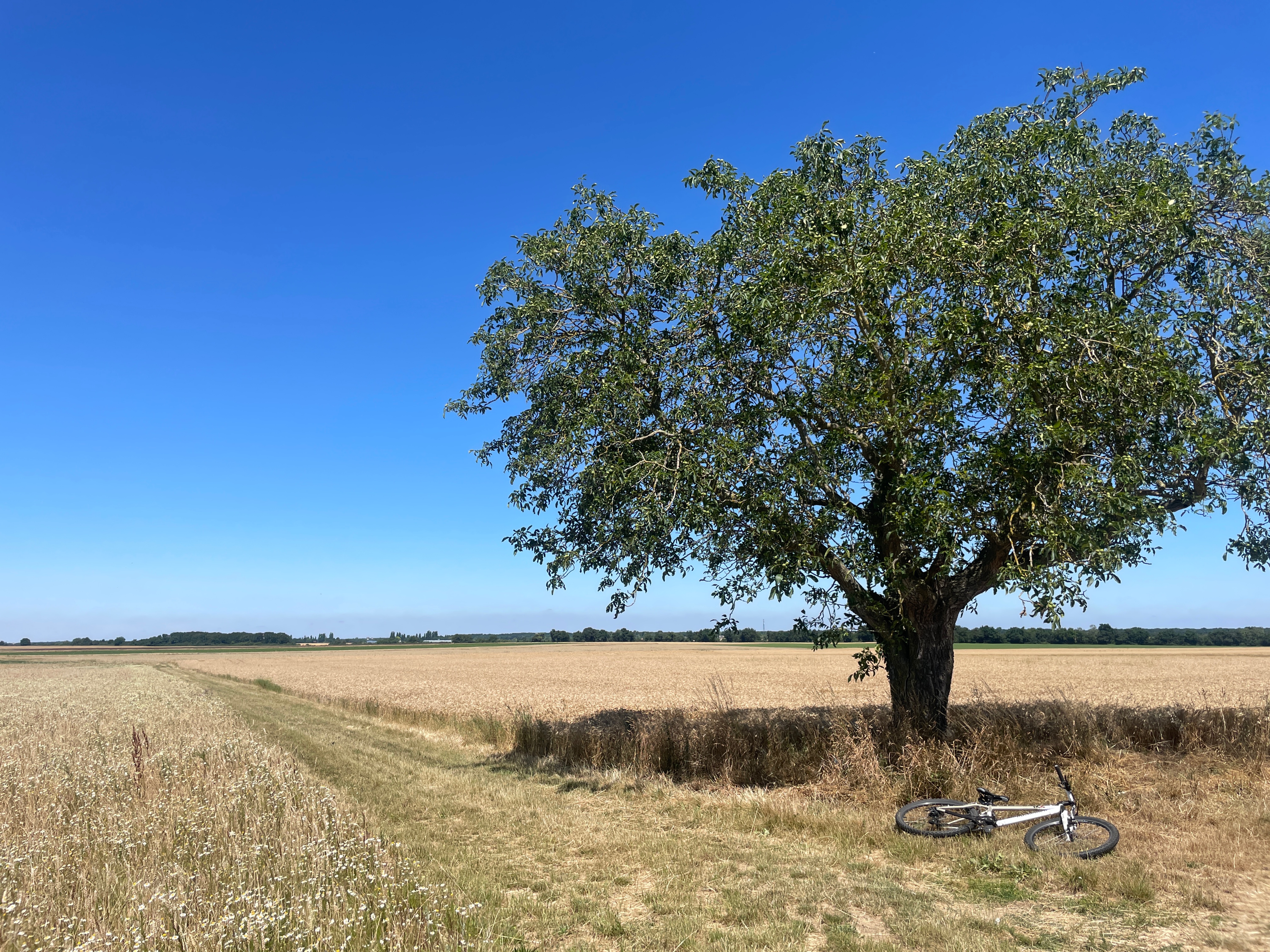
A cycling route starting in Montigny-sur-Loing, Île-de-France Region, France.
Overview
About this route
- -:--
- Duration
- 11 km
- Distance
- 101 m
- Ascent
- 65 m
- Descent
- ---
- Avg. speed
- ---
- Max. altitude

Route quality
Waytypes & surfaces along the route
Waytypes
Road
7.9 km
(72 %)
Busy road
3 km
(28 %)
Surfaces
Paved
4 km
(36 %)
Asphalt
4 km
(36 %)
Undefined
7 km
(64 %)
Continue with Bikemap
Use, edit, or download this cycling route
You would like to ride montigny 1 or customize it for your own trip? Here is what you can do with this Bikemap route:
Free features
- Save this route as favorite or in collections
- Copy & plan your own version of this route
- Sync your route with Garmin or Wahoo
Premium features
Free trial for 3 days, or one-time payment. More about Bikemap Premium.
- Navigate this route on iOS & Android
- Export a GPX / KML file of this route
- Create your custom printout (try it for free)
- Download this route for offline navigation
Discover more Premium features.
Get Bikemap PremiumFrom our community
Other popular routes starting in Montigny-sur-Loing
 Day 1. Fontainebleau to Troyes
- Distance
- 154.7 km
- Ascent
- 866 m
- Descent
- 776 m
- Location
- Montigny-sur-Loing, Île-de-France Region, France
 Itinéraire confortable en Episy
- Distance
- 14.4 km
- Ascent
- 51 m
- Descent
- 41 m
- Location
- Montigny-sur-Loing, Île-de-France Region, France
 Sente des Jardins, La Genevraye à 4 De la Sucrerie, Souppes-sur-Loing
- Distance
- 19.1 km
- Ascent
- 55 m
- Descent
- 49 m
- Location
- Montigny-sur-Loing, Île-de-France Region, France
 Tout droit à l'intérieur Veneux-les-Sablons
- Distance
- 10.3 km
- Ascent
- 44 m
- Descent
- 46 m
- Location
- Montigny-sur-Loing, Île-de-France Region, France
 Itinéraire facile en Episy
- Distance
- 24 km
- Ascent
- 16 m
- Descent
- 15 m
- Location
- Montigny-sur-Loing, Île-de-France Region, France
 De ÄÃ¥Ú? à ÄÃ¥Ú?
- Distance
- 14.8 km
- Ascent
- 121 m
- Descent
- 122 m
- Location
- Montigny-sur-Loing, Île-de-France Region, France
 Parcours VTT
- Distance
- 25.5 km
- Ascent
- 326 m
- Descent
- 332 m
- Location
- Montigny-sur-Loing, Île-de-France Region, France
 Montigny-sur-Loing/ Villiers-sous-grez/Ury
- Distance
- 34 km
- Ascent
- 226 m
- Descent
- 228 m
- Location
- Montigny-sur-Loing, Île-de-France Region, France
Open it in the app