Grenzweg Deutschland_Tschechien
- 158.3 km
- 1,049 m
- 1,106 m
- Schirnding, Bavaria, Germany
A cycling route starting in Schirnding, Bavaria, Germany.
Overview
created this 7 years ago
Route quality
Quiet road
270.2 km
(33 %)
Track
229.3 km
(28 %)
Paved
524.1 km
(64 %)
Unpaved
237.5 km
(29 %)
Asphalt
507.7 km
(62 %)
Gravel
147.4 km
(18 %)
Route highlights
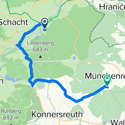
1. Tag 32km 410 HM
2. Tag 54km 550 HM
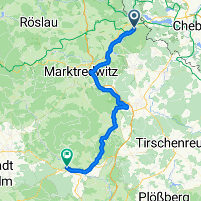
3. Tag 65km 100 HM 151 km gesamt
4. Tag 57 km 250 HM 208 km gesamt
5. Tag 93km 301 km gesamt
6. Tag 99 km 400 km gesamt
7. Tag 84 km 484 km gesamt
8.Tag 61 km 543 km
9. Tag 87 km 629 km gesamt
10.Tag 73km 701 gesamt
11.Tag 89 km 790 gesamt
12.Tag 29km 819 gesamt 3940 HM auf 3870 HM ab
Continue with Bikemap
You would like to ride 2019 or customize it for your own trip? Here is what you can do with this Bikemap route:
Free trial for 3 days, or one-time payment. More about Bikemap Premium.
Discover more Premium features.
Get Bikemap PremiumFrom our community
Open it in the app