

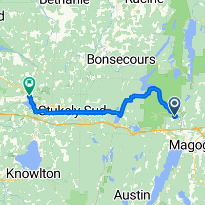
Par Lovering
A cycling route starting in Magog, Quebec, Canada.
Overview
About this route
- -:--
- Duration
- 21 km
- Distance
- 166 m
- Ascent
- 169 m
- Descent
- ---
- Avg. speed
- ---
- Max. altitude

Route quality
Waytypes & surfaces along the route
Waytypes
Road
7.6 km
(36 %)
Quiet road
2.3 km
(11 %)
Surfaces
Paved
20.4 km
(97 %)
Asphalt
17 km
(81 %)
Paved (undefined)
3.4 km
(16 %)
Undefined
0.6 km
(3 %)
Continue with Bikemap
Use, edit, or download this cycling route
You would like to ride Par Lovering or customize it for your own trip? Here is what you can do with this Bikemap route:
Free features
- Save this route as favorite or in collections
- Copy & plan your own version of this route
- Sync your route with Garmin or Wahoo
Premium features
Free trial for 3 days, or one-time payment. More about Bikemap Premium.
- Navigate this route on iOS & Android
- Export a GPX / KML file of this route
- Create your custom printout (try it for free)
- Download this route for offline navigation
Discover more Premium features.
Get Bikemap PremiumFrom our community
Other popular routes starting in Magog
 Tour du lac Magog
- Distance
- 61.3 km
- Ascent
- 444 m
- Descent
- 409 m
- Location
- Magog, Quebec, Canada
 Magog Ayer's Clifff
- Distance
- 57 km
- Ascent
- 590 m
- Descent
- 592 m
- Location
- Magog, Quebec, Canada
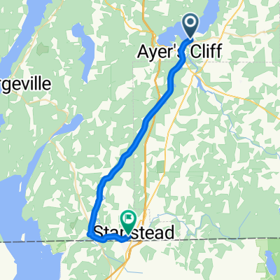
 AYERSCLIFF STANSTEAD LOOP
- Distance
- 45.7 km
- Ascent
- 340 m
- Descent
- 340 m
- Location
- Magog, Quebec, Canada
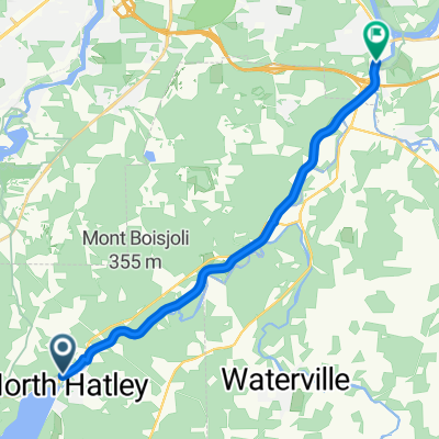
 Hatley à Stanstead 30km
- Distance
- 26.9 km
- Ascent
- 298 m
- Descent
- 156 m
- Location
- Magog, Quebec, Canada
 Deux Lacs
- Distance
- 72.3 km
- Ascent
- 417 m
- Descent
- 417 m
- Location
- Magog, Quebec, Canada
 Grandes-fourches Networkm- Massawippi Axis
- Distance
- 14.3 km
- Ascent
- 68 m
- Descent
- 76 m
- Location
- Magog, Quebec, Canada
 Eastman-stetienne-bolton
- Distance
- 27 km
- Ascent
- 150 m
- Descent
- 150 m
- Location
- Magog, Quebec, Canada
 Rue de la Grande-Coulée, Orford à Rue Foster, Waterloo
- Distance
- 36.8 km
- Ascent
- 385 m
- Descent
- 463 m
- Location
- Magog, Quebec, Canada
Open it in the app