

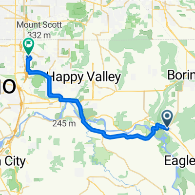
Carver-Viola-Highlands-Colton-Redland-Carver
A cycling route starting in Damascus, Oregon, United States of America.
Overview
About this route
Quiet route in the rolling hills south of Portland
- -:--
- Duration
- 88.6 km
- Distance
- 919 m
- Ascent
- 919 m
- Descent
- ---
- Avg. speed
- ---
- Max. altitude

Route quality
Waytypes & surfaces along the route
Waytypes
Road
50.5 km
(57 %)
Busy road
21.8 km
(25 %)
Surfaces
Paved
17.2 km
(19 %)
Asphalt
17.2 km
(19 %)
Undefined
71.4 km
(81 %)
Continue with Bikemap
Use, edit, or download this cycling route
You would like to ride Carver-Viola-Highlands-Colton-Redland-Carver or customize it for your own trip? Here is what you can do with this Bikemap route:
Free features
- Save this route as favorite or in collections
- Copy & plan your own version of this route
- Split it into stages to create a multi-day tour
- Sync your route with Garmin or Wahoo
Premium features
Free trial for 3 days, or one-time payment. More about Bikemap Premium.
- Navigate this route on iOS & Android
- Export a GPX / KML file of this route
- Create your custom printout (try it for free)
- Download this route for offline navigation
Discover more Premium features.
Get Bikemap PremiumFrom our community
Other popular routes starting in Damascus
 Southeast Snowberry Lane to South River Parkway
- Distance
- 42.6 km
- Ascent
- 155 m
- Descent
- 335 m
- Location
- Damascus, Oregon, United States of America
 Barton to home
- Distance
- 21 km
- Ascent
- 242 m
- Descent
- 170 m
- Location
- Damascus, Oregon, United States of America
 Springwater Corridor, Boring to 3604 SE Powell Valley Rd, Gresham
- Distance
- 9.6 km
- Ascent
- 72 m
- Descent
- 104 m
- Location
- Damascus, Oregon, United States of America
 28060 SE Viva Ln, Boring to 1925 NE 42nd Ave, Portland
- Distance
- 27.9 km
- Ascent
- 90 m
- Descent
- 211 m
- Location
- Damascus, Oregon, United States of America
 28000 SE Dee St, Boring to 7616 SE Alder St, Portland
- Distance
- 30.8 km
- Ascent
- 237 m
- Descent
- 308 m
- Location
- Damascus, Oregon, United States of America
 12525 SE 172nd Ave, Happy Valley to 12525 SE 172nd Ave, Happy Valley
- Distance
- 10.3 km
- Ascent
- 76 m
- Descent
- 75 m
- Location
- Damascus, Oregon, United States of America
 Boring to 7616 SE Alder St, Portland
- Distance
- 32.1 km
- Ascent
- 263 m
- Descent
- 262 m
- Location
- Damascus, Oregon, United States of America
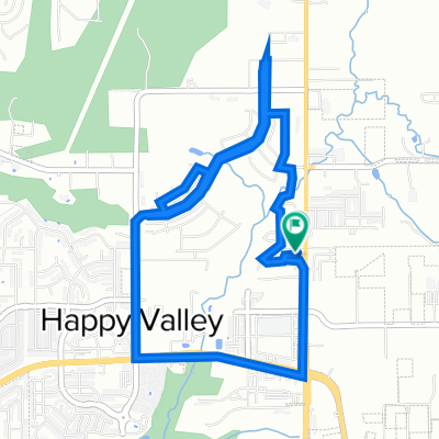
 Moderate route in Happy Valley
- Distance
- 12.8 km
- Ascent
- 190 m
- Descent
- 190 m
- Location
- Damascus, Oregon, United States of America
Open it in the app