Priemyselná do Textilná
- 6.7 km
- 58 m
- 119 m
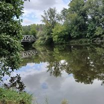
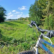
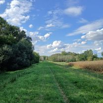
- Levice, Nitra Region, Slovakia
22.08.2018

Road
26.3 km57 %Quiet road
6 km13 %Paved
38.8 km(84 %)Asphalt
38.8 km84 %Undefined
7.4 km16 %Free trial for 3 days, or one-time payment. More about Bikemap Premium.
Discover more Premium features.
Get Bikemap PremiumOpen it in the app