

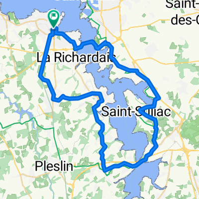
Lymington to Montaillou
A cycling route starting in Dinard, Brittany Region, France.
Overview
About this route
- -:--
- Duration
- 1,089.9 km
- Distance
- 1,706 m
- Ascent
- 401 m
- Descent
- ---
- Avg. speed
- ---
- Max. altitude
Route quality
Waytypes & surfaces along the route
Waytypes
Busy road
318.6 km
(29 %)
Cycleway
314.5 km
(29 %)
Surfaces
Paved
574 km
(53 %)
Unpaved
34.6 km
(3 %)
Asphalt
495.5 km
(45 %)
Paved (undefined)
66.2 km
(6 %)
Route highlights
Points of interest along the route
Point of interest after 105.2 km
IVO:First night campsite
Point of interest after 187.2 km
IVO: 2nd night campsite
Point of interest after 272.5 km
Possible campsite night 3
Point of interest after 286 km
Possible night 3 campsite
Point of interest after 295.8 km
Possible night 3 campsite
Point of interest after 405 km
IVO night 4 camping
Point of interest after 533.6 km
Campsite night 5
Point of interest after 675.1 km
Camping night 6
Point of interest after 787.2 km
Camping Night 7
Point of interest after 889.3 km
Campsite day 8
Point of interest after 987.1 km
Night 9 Camping campingthesauque.com
Continue with Bikemap
Use, edit, or download this cycling route
You would like to ride Lymington to Montaillou or customize it for your own trip? Here is what you can do with this Bikemap route:
Free features
- Save this route as favorite or in collections
- Copy & plan your own version of this route
- Split it into stages to create a multi-day tour
- Sync your route with Garmin or Wahoo
Premium features
Free trial for 3 days, or one-time payment. More about Bikemap Premium.
- Navigate this route on iOS & Android
- Export a GPX / KML file of this route
- Create your custom printout (try it for free)
- Download this route for offline navigation
Discover more Premium features.
Get Bikemap PremiumFrom our community
Other popular routes starting in Dinard
 Marty - Day 1
- Distance
- 94.8 km
- Ascent
- 332 m
- Descent
- 275 m
- Location
- Dinard, Brittany Region, France
 Dinard loop 1
- Distance
- 37.7 km
- Ascent
- 299 m
- Descent
- 288 m
- Location
- Dinard, Brittany Region, France
 40 ter Rue du Maréchal Leclerc, Dinard to 5 La Giraudais, Calorguen
- Distance
- 30.2 km
- Ascent
- 268 m
- Descent
- 258 m
- Location
- Dinard, Brittany Region, France
 Normandie Dinard - Saint Nazaire
- Distance
- 234.7 km
- Ascent
- 821 m
- Descent
- 834 m
- Location
- Dinard, Brittany Region, France
 Lymington to Montaillou
- Distance
- 1,089.9 km
- Ascent
- 1,706 m
- Descent
- 401 m
- Location
- Dinard, Brittany Region, France
 Dinard
- Distance
- 43.4 km
- Ascent
- 324 m
- Descent
- 323 m
- Location
- Dinard, Brittany Region, France
 Dinard
- Distance
- 19 km
- Ascent
- 196 m
- Descent
- 196 m
- Location
- Dinard, Brittany Region, France
 Bretagne
- Distance
- 593.6 km
- Ascent
- 924 m
- Descent
- 942 m
- Location
- Dinard, Brittany Region, France
Open it in the app