TourS
- 1,054 km
- 6,008 m
- 5,718 m
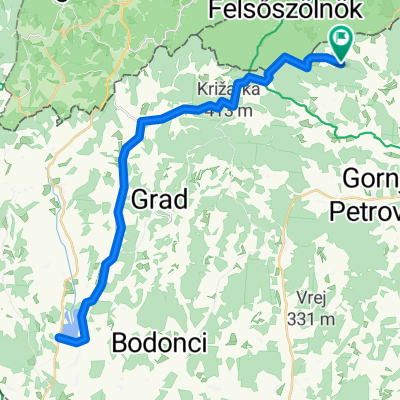
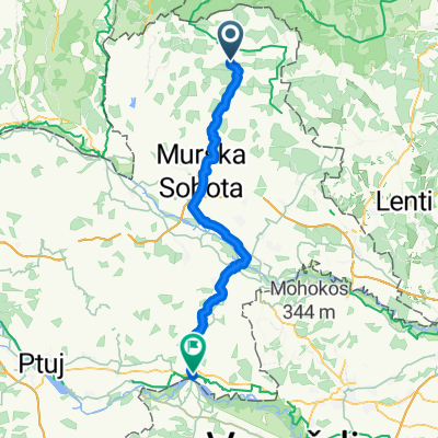
- Gornji Petrovci, Gornji Petrovci, Slovenia
A cycling route starting in Gornji Petrovci, Gornji Petrovci, Slovenia.
Overview
created this 7 years ago
Route quality
Road
20 km
45 %
Quiet road
14.6 km
33 %
Paved
35.9 km
(81 %)
Unpaved
4.9 km
(11 %)
Asphalt
35.9 km
81 %
Gravel
4 km
9 %
Route highlights
Čepinci vojaški muzej

Apátistvánfalva /Števanovci: Határőr Emlékhely és Múzeum Muzej stražarjev

Orfalu / Andovci porabska domačija in Mali Triglav

Hodoš / Hodos jezero tó

Hodoš / Hodos vodnjak

Hodoš / Hodos stražni stolp /

Krplivnik / Kapornak stražni stolp

Krplivnik / Kapornak etnografska zbirka / néprajzi gyűjtemény
Krplivnik / Kapornak pitna voda / víztározó

Domanjševci / Domonkosfa evangeličanska cerkev / evangélikus templom

Domanjševci / Domonkosfa: katoliška cerkev Sv. Martina/ Szent Márton templom
Križevci Vidrin center / Aqualutra
Križevci jezero / tó

Gornji Petrovci evangeličanska cerkev / evangélikus templom

Gornji Petrovci katoliška cerkev Sv. Trojice / római katolikus templom
Adrijanci kapela / kápolna
Continue with Bikemap
You would like to ride Markovci Green Park or customize it for your own trip? Here is what you can do with this Bikemap route:
Free trial for 3 days, or one-time payment. More about Bikemap Premium.
Discover more Premium features.
Get Bikemap PremiumFrom our community
Open it in the app