


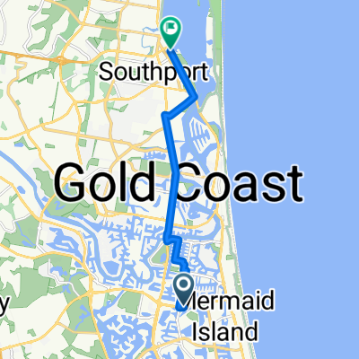
Plumosa Ct, Mermaid Waters ferry rd southport
- 10.8 km
- 19 m
- 17 m
- Clear Island Waters, Queensland, Australia
A cycling route starting in Clear Island Waters, Queensland, Australia.
Overview
created this 7 years ago
Continue with Bikemap
You would like to ride northview to tugun hungrys or customize it for your own trip? Here is what you can do with this Bikemap route:
Free trial for 3 days, or one-time payment. More about Bikemap Premium.
Discover more Premium features.
Get Bikemap PremiumFrom our community
Open it in the app


