

2011 - Rumunsko
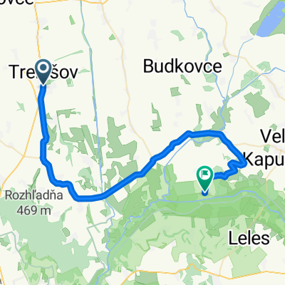
A cycling route starting in Trebišov, Košice Region, Slovakia.
Overview
About this route
- -:--
- Duration
- 1,697.3 km
- Distance
- 6,428 m
- Ascent
- 6,434 m
- Descent
- ---
- Avg. speed
- ---
- Max. altitude

Route highlights
Points of interest along the route
Accommodation after 288.5 km
Accommodation after 343.1 km
Accommodation after 460.7 km
Accommodation after 534.6 km
Accommodation after 612.3 km
Accommodation after 760.2 km
Accommodation after 803.1 km
Accommodation after 807.7 km
Accommodation after 1,477.7 km
Continue with Bikemap
Use, edit, or download this cycling route
You would like to ride 2011 - Rumunsko or customize it for your own trip? Here is what you can do with this Bikemap route:
Free features
- Save this route as favorite or in collections
- Copy & plan your own version of this route
- Split it into stages to create a multi-day tour
- Sync your route with Garmin or Wahoo
Premium features
Free trial for 3 days, or one-time payment. More about Bikemap Premium.
- Navigate this route on iOS & Android
- Export a GPX / KML file of this route
- Create your custom printout (try it for free)
- Download this route for offline navigation
Discover more Premium features.
Get Bikemap PremiumFrom our community
Other popular routes starting in Trebišov
 TV- Kožuchov- Novosad- Oborín- Čičarovce (NCH)
- Distance
- 45.1 km
- Ascent
- 41 m
- Descent
- 46 m
- Location
- Trebišov, Košice Region, Slovakia
 2010 - Cyklodovolená
- Distance
- 543.5 km
- Ascent
- 5,542 m
- Descent
- 5,456 m
- Location
- Trebišov, Košice Region, Slovakia
 2011 - Rumunsko
- Distance
- 1,697.3 km
- Ascent
- 6,428 m
- Descent
- 6,434 m
- Location
- Trebišov, Košice Region, Slovakia
 Velka trna - Palhaza - Kokapu - RudaBanyacska - Karolov dvor - Velka trna
- Distance
- 59.6 km
- Ascent
- 940 m
- Descent
- 941 m
- Location
- Trebišov, Košice Region, Slovakia
 92,0 km- Sarospatak a späť
- Distance
- 90.7 km
- Ascent
- 226 m
- Descent
- 229 m
- Location
- Trebišov, Košice Region, Slovakia
 161,0 km Čierna nad Tisou- Satorajuhely
- Distance
- 159.8 km
- Ascent
- 245 m
- Descent
- 248 m
- Location
- Trebišov, Košice Region, Slovakia
 Export
- Distance
- 17.5 km
- Ascent
- 125 m
- Descent
- 31 m
- Location
- Trebišov, Košice Region, Slovakia
 Bringahorda 2015 2. nap
- Distance
- 40.6 km
- Ascent
- 433 m
- Descent
- 548 m
- Location
- Trebišov, Košice Region, Slovakia
Open it in the app