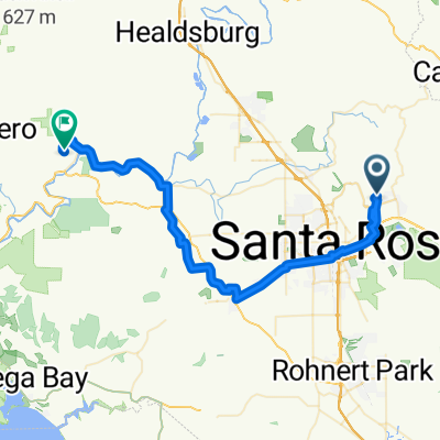
Restful route
- 6 km
- 74 m
- 72 m
- Santa Rosa, California, United States
A cycling route starting in Santa Rosa, California, United States.
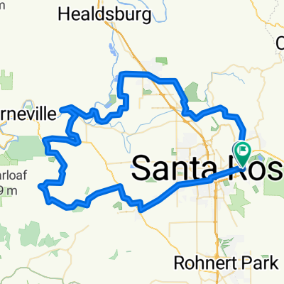
Overview
created this 7 years ago
Route quality
Road
27.2 km
(52 %)
Quiet road
13.6 km
(26 %)
Paved
19.3 km
(37 %)
Asphalt
19.3 km
(37 %)
Undefined
32.9 km
(63 %)
Continue with Bikemap
You would like to ride Santa Rosa Loop or customize it for your own trip? Here is what you can do with this Bikemap route:
Free trial for 3 days, or one-time payment. More about Bikemap Premium.
Discover more Premium features.
Get Bikemap PremiumFrom our community
Open it in the app