
speedy delivery
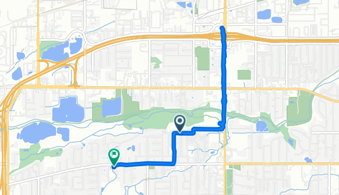
A cycling route starting in Wheat Ridge, Colorado, United States of America.
Overview
About this route
- 49 min
- Duration
- 5.3 km
- Distance
- 299 m
- Ascent
- 293 m
- Descent
- 6.6 km/h
- Avg. speed
- ---
- Max. altitude

Route photos


Continue with Bikemap
Use, edit, or download this cycling route
You would like to ride speedy delivery or customize it for your own trip? Here is what you can do with this Bikemap route:
Free features
- Save this route as favorite or in collections
- Copy & plan your own version of this route
- Sync your route with Garmin or Wahoo
Premium features
Free trial for 3 days, or one-time payment. More about Bikemap Premium.
- Navigate this route on iOS & Android
- Export a GPX / KML file of this route
- Create your custom printout (try it for free)
- Download this route for offline navigation
Discover more Premium features.
Get Bikemap PremiumFrom our community
Other popular routes starting in Wheat Ridge
 Clear Creek Trail, Wheat Ridge to 1101 Washington Ave, Golden
- Distance
- 11.7 km
- Ascent
- 137 m
- Descent
- 42 m
- Location
- Wheat Ridge, Colorado, United States of America
 Kipling Street 3975, Wheat Ridge to Kipling Street 3975, Wheat Ridge
- Distance
- 22.1 km
- Ascent
- 131 m
- Descent
- 142 m
- Location
- Wheat Ridge, Colorado, United States of America
 Kipling St to Golden
- Distance
- 11.4 km
- Ascent
- 144 m
- Descent
- 50 m
- Location
- Wheat Ridge, Colorado, United States of America
 Reed Street 2985, Wheat Ridge to Reed Street 2985, Wheat Ridge
- Distance
- 43.4 km
- Ascent
- 23 m
- Descent
- 34 m
- Location
- Wheat Ridge, Colorado, United States of America
 Clear Creek Trail, Wheat Ridge to Clear Creek Trail, Wheat Ridge
- Distance
- 62.3 km
- Ascent
- 647 m
- Descent
- 642 m
- Location
- Wheat Ridge, Colorado, United States of America
 9808 W 26th Ave, Lakewood to 2813–2849 Himalaya Rd, Aurora
- Distance
- 36.3 km
- Ascent
- 192 m
- Descent
- 213 m
- Location
- Wheat Ridge, Colorado, United States of America
 Roundabout ye olde town creek ride
- Distance
- 13.9 km
- Ascent
- 808 m
- Descent
- 772 m
- Location
- Wheat Ridge, Colorado, United States of America
 Medicine & Munchies
- Distance
- 2.5 km
- Ascent
- 180 m
- Descent
- 152 m
- Location
- Wheat Ridge, Colorado, United States of America
Open it in the app