Schw. Gmünd - Straßdorf - Aasrücken - Waldhausen - Schw. Gmünd
A cycling route starting in Schwäbisch Gmünd, Baden-Wurttemberg, Germany.
Overview
About this route
- -:--
- Duration
- 39.2 km
- Distance
- 512 m
- Ascent
- 512 m
- Descent
- ---
- Avg. speed
- ---
- Max. altitude
Route quality
Waytypes & surfaces along the route
Waytypes
Track
12.9 km
(33 %)
Quiet road
9.8 km
(25 %)
Surfaces
Paved
27.5 km
(70 %)
Unpaved
6.7 km
(17 %)
Asphalt
26.7 km
(68 %)
Gravel
5.9 km
(15 %)
Continue with Bikemap
Use, edit, or download this cycling route
You would like to ride Schw. Gmünd - Straßdorf - Aasrücken - Waldhausen - Schw. Gmünd or customize it for your own trip? Here is what you can do with this Bikemap route:
Free features
- Save this route as favorite or in collections
- Copy & plan your own version of this route
- Sync your route with Garmin or Wahoo
Premium features
Free trial for 3 days, or one-time payment. More about Bikemap Premium.
- Navigate this route on iOS & Android
- Export a GPX / KML file of this route
- Create your custom printout (try it for free)
- Download this route for offline navigation
Discover more Premium features.
Get Bikemap PremiumFrom our community
Other popular routes starting in Schwäbisch Gmünd
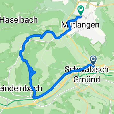
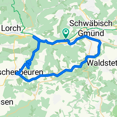
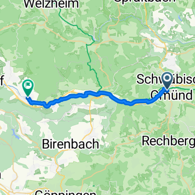
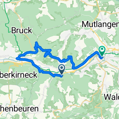
Schwäbisch Gmünd nach Asylstraße 1, Schwäbisch Gmünd- Distance
- 17.9 km
- Ascent
- 191 m
- Descent
- 215 m
- Location
- Schwäbisch Gmünd, Baden-Wurttemberg, Germany
Abendliche Zeitfahrtrainingsrunde- Distance
- 27 km
- Ascent
- 282 m
- Descent
- 282 m
- Location
- Schwäbisch Gmünd, Baden-Wurttemberg, Germany
Erste HfG Bike-Tour- Distance
- 38.4 km
- Ascent
- 882 m
- Descent
- 882 m
- Location
- Schwäbisch Gmünd, Baden-Wurttemberg, Germany
Ulm,Arneg- Distance
- 59.7 km
- Ascent
- 731 m
- Descent
- 572 m
- Location
- Schwäbisch Gmünd, Baden-Wurttemberg, Germany
Hohenstaufenrunde- Distance
- 28.7 km
- Ascent
- 605 m
- Descent
- 605 m
- Location
- Schwäbisch Gmünd, Baden-Wurttemberg, Germany
Gmünd - Zimmern - Lindach - Alfdorf - Haselbach - Gmünd- Distance
- 37.5 km
- Ascent
- 277 m
- Descent
- 277 m
- Location
- Schwäbisch Gmünd, Baden-Wurttemberg, Germany
alb rauf und runter- Distance
- 98.6 km
- Ascent
- 1,359 m
- Descent
- 1,361 m
- Location
- Schwäbisch Gmünd, Baden-Wurttemberg, Germany
Rund um Schwäbisch Gmünd- Distance
- 101.1 km
- Ascent
- 954 m
- Descent
- 949 m
- Location
- Schwäbisch Gmünd, Baden-Wurttemberg, Germany
Open it in the app

